Skip to site menu Skip to page content

Building the Future of Quarry Monitoring

By senseFly

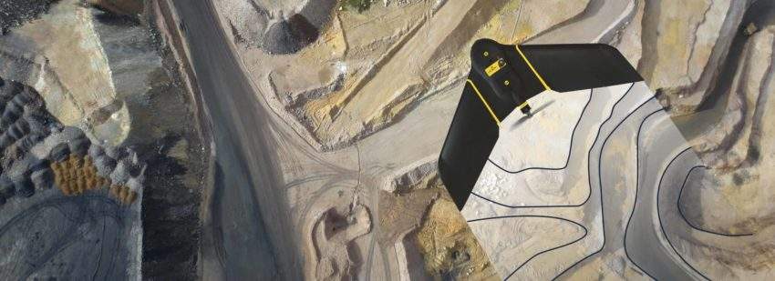
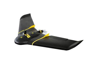
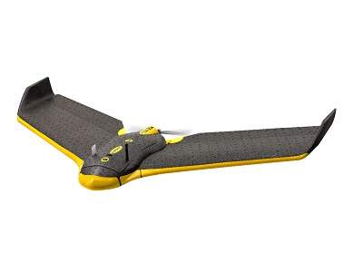
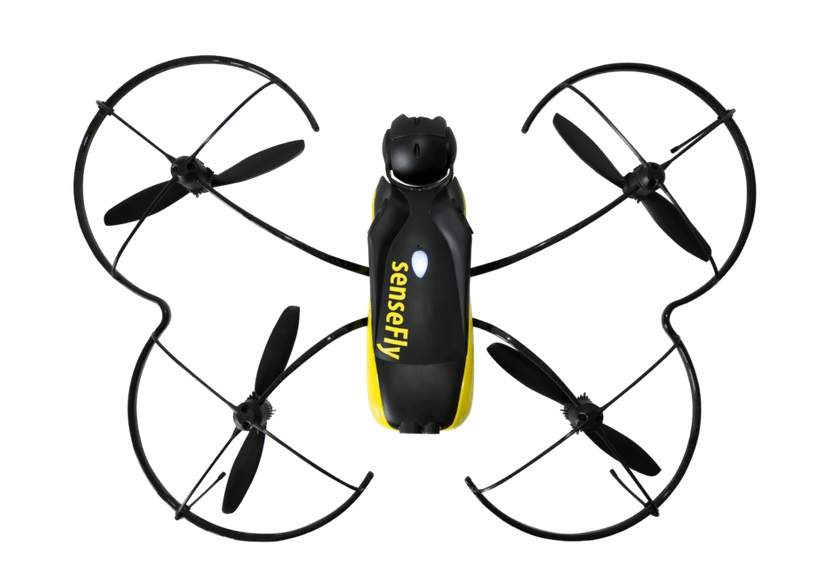
In 2015, French quarry operator Groupe CB turned to drone data analytics expert Redbird to provide accurate, Cloud-based geospatial data across nine of its sites. This new, aerial approach led to a major improvement in on-site safety, a five-fold reduction in survey costs, plus an increase in the depth of Groupe CB's topographic data, providing a clear vision of the future of quarry data management.

Please download this free white paper to read more.

Enter your details below to view the free white paper

By downloading this whitepaper, you acknowledge that GlobalData may share your information with our white paper partners/sponsors who may contact you directly with information on their products and services.

Visit our Privacy Policy for more information about our services, how GlobalData may use, process and share your personal data, including information on your rights in respect of your personal data and how you can unsubscribe from future marketing communications. Our services are intended for corporate subscribers and you warrant that the email address submitted is your corporate email address.

Related Content