Mine & Quarry 360

senseFly’s Mine & Quarry 360 is a complete aerial site analysis system. The accurate and timely geospatial data the eBee Plus collects, combined with Airware’s powerful platform and industry-focused analytics, creates a unique decision-making tool.
With senseFly’s Mine & Quarry 360, collecting site data is virtually automatic. Simply define
your quarry or pit’s location on the map, launch the eBee Plus into the air, and the drone flies, captures high-resolution images and lands itself. You can then focus on using Airware’s platform and powerful mining and quarry analytics to turn this data into action.
Included in Mine & Quarry 360:
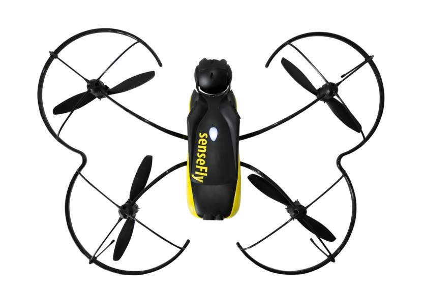
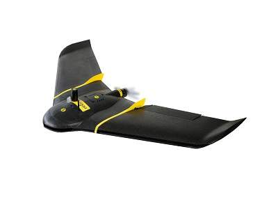
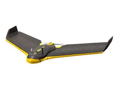
- eBee Plus drone
- Flies for 59min
- Survey up to 220ha (540 acres) at 120m/400ft AGL
- High-Precision on Demand (RTK/PPK)—absolute accuracy down to 3cm (1.2in)
- senseFly S.O.D.A. photogrammetry camera
- eMotion software
- Simple mission-block flight planning
- 2D/3D interface options
- Connect to cloud services, weather updates, airspace data etc.
- Instant integration with senseFly GeoBase (& compatible with leading base stations)
- Airware platform
- Create georeferenced orthomosaics, point clouds, surface models & more
- Access industry-specific modules for analysis & reporting
- Accessible anytime, anywhere
- Easily collaborate across multiple sites, teams & geographies
- Education & support
- Full access to Knowledge Base, regular customer webinars, video tutorials & more
- Lifetime hardware & eMotion support
- Expert local senseFly representatives