Evaluating the Elios 3 Autonomous Scanning for Underground Geological Mapping
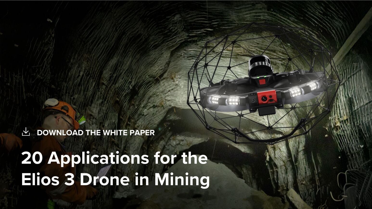
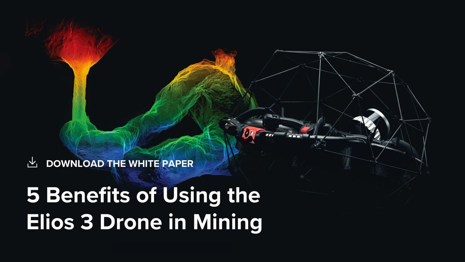
This paper presents the results of an underground testing programme at a mine in the US, where the Flyability Elios 3 was evaluated for geological and geotechnical mapping using AutoScan, LiDAR, onboard lighting, and high-resolution image capture.