
Emesent
How Mobile Lidar Data Delivers Better Outcomes at BHP’s Olympic Dam Mine
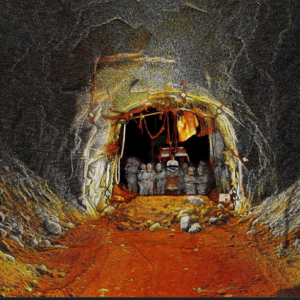
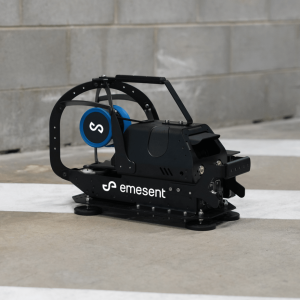
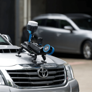
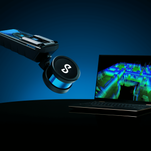
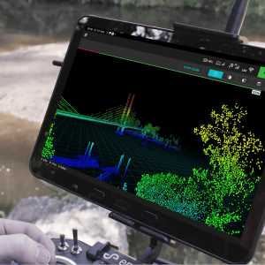
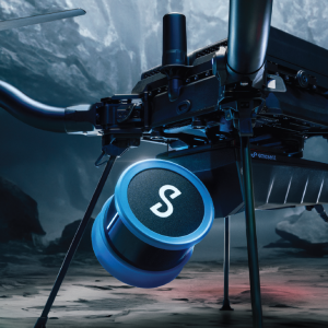
BHP’s Olympic Dam (OD) mine was an early adopter of Emesent’s Hovermap mobile LiDAR system. First deployed in February 2019, Hovermap has become a ubiquitous tool that’s integral to the mine’s underground operational workflows. Geotech, engineering, geology and survey teams use data captured by Hovermap from stopes, orepasses, drawpoints and other underground infrastructure.
Emesent enjoys an ongoing relationship with the various technical services departments at OD. It runs Hovermap operator training courses and teaches technical teams to use the Emesent proprietary data processing software. Emesent designers have worked closely with BHP to create prototype accessories for vertical shaft scanning. OD’s technical teams provide feedback that is helping Emesent optimize Hovermap’s performance in harsh underground environments, and enhance the usability of the Emesent data processing solution.