Aura
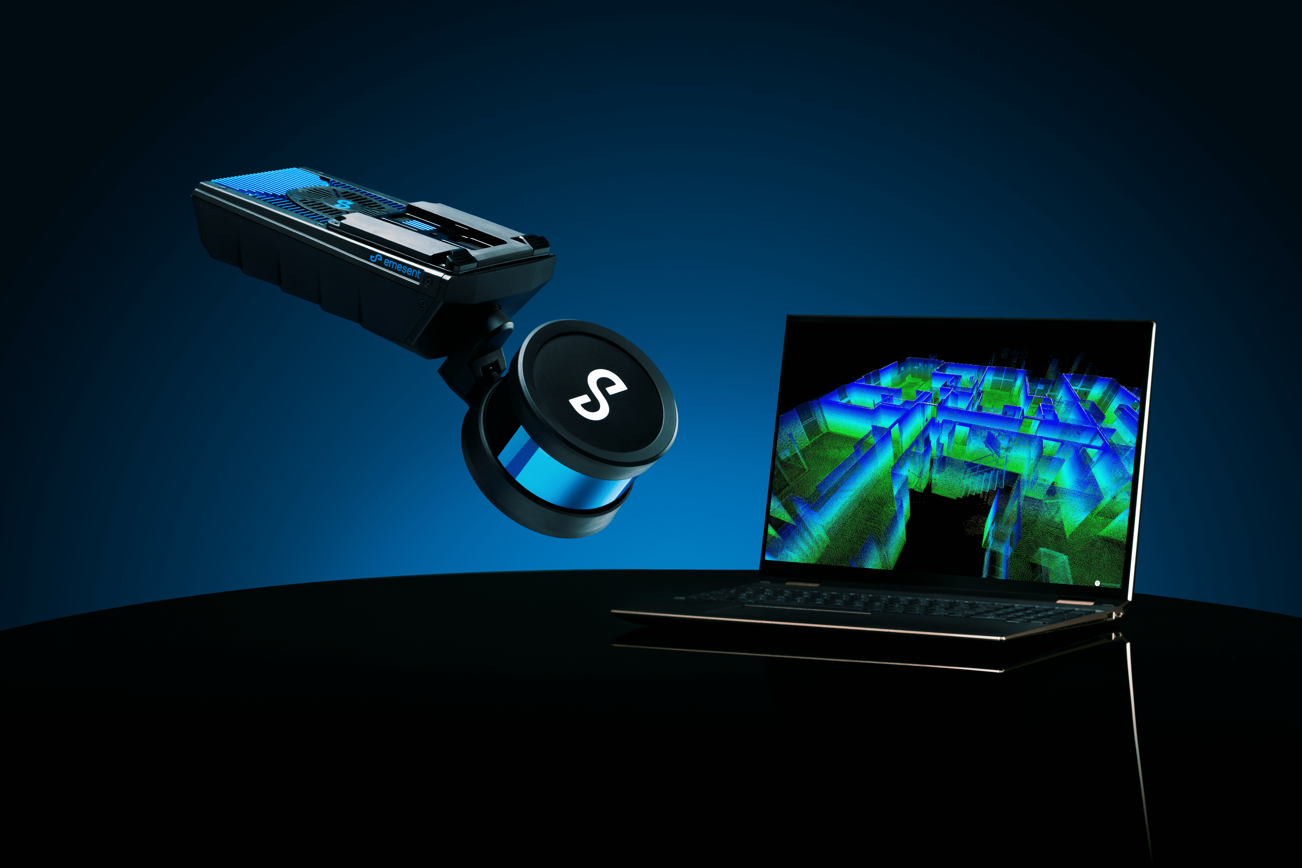
Aura software comes bundled with all Hovermaps, so you can unlock the full potential of your Hovermap scans. Aura, the all-in-one solution for processing and visualizing point clouds, revolutionizes the way you work, providing a seamless platform for faster insights and improved decision-making.
Effortless Data Processing
Simplify 3D laser scanning workflows from capture to insight. Aura’s intuitive interface and streamlined workflows make processing, viewing, and analyzing point clouds easier than ever before. Then, manage your point clouds effortlessly with Aura’s flexible export options. Save your work as you go, change file formats, or join multiple point clouds into one file—all with just a few clicks. Spend less time wrestling with data and more time gaining valuable insights.
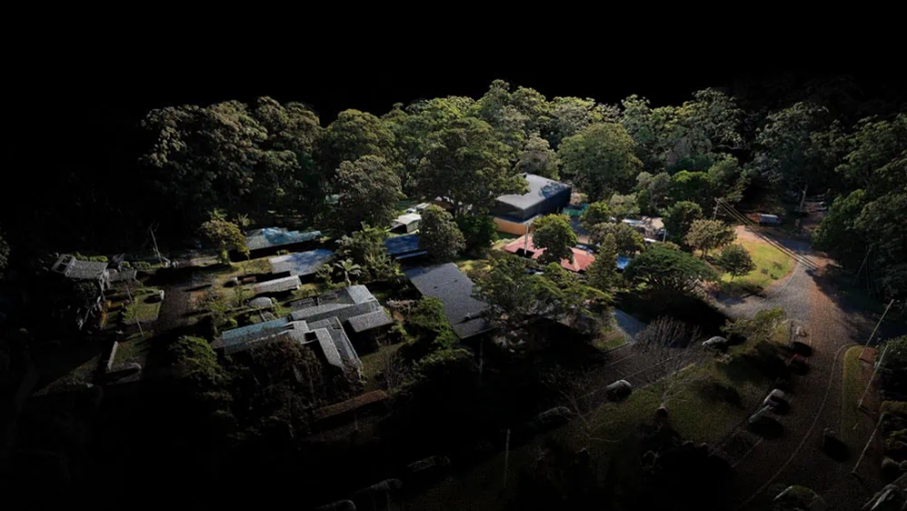
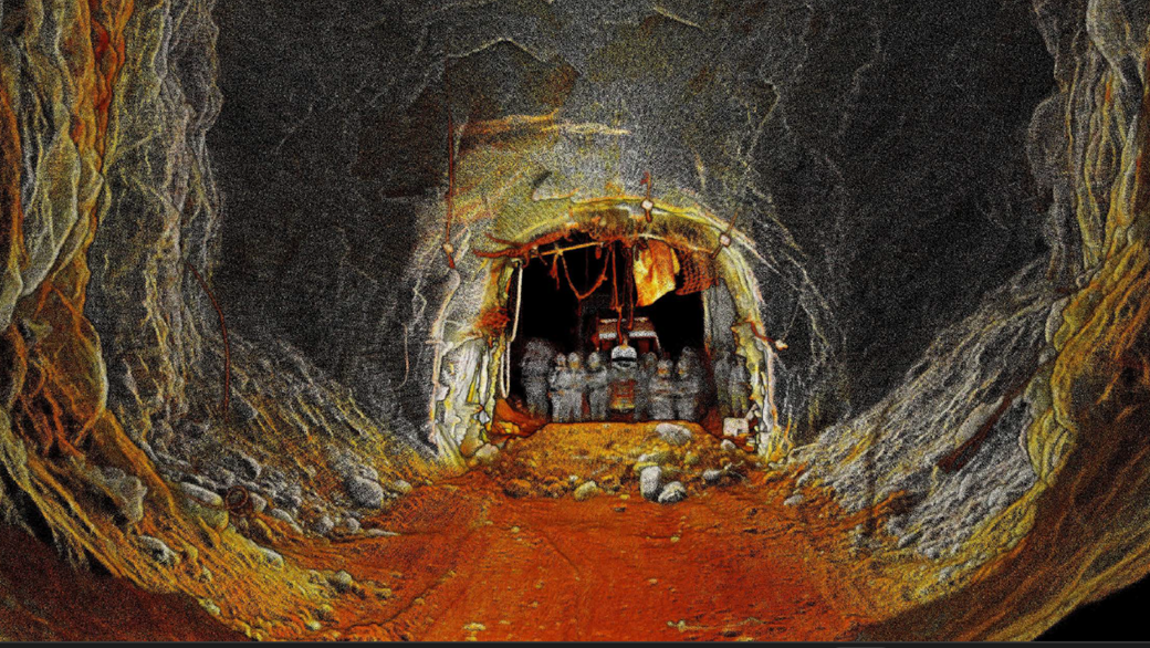
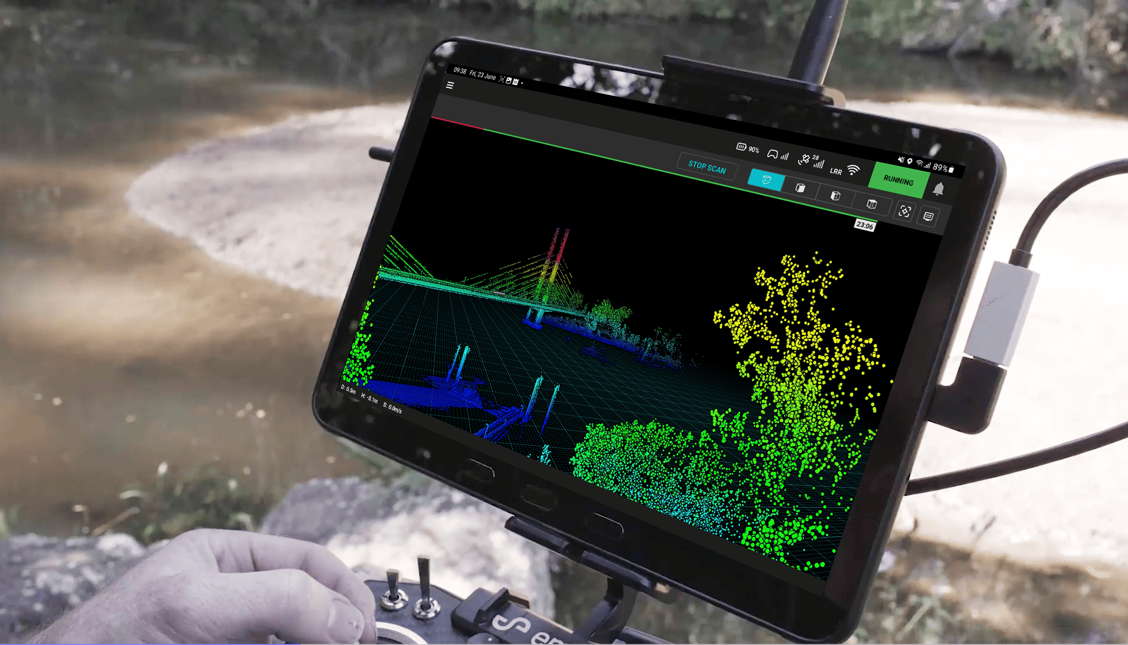
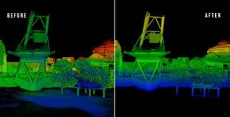
Realistic Visualization & Noise Filtering
View scanned features with true-to-life realism and uncover hidden details with enhanced point cloud colorization, color scale filtering, and pre-set filters based on specific attributes. Aura’s real-world colorization capabilities ensure easier interpretation of objects, while automated noise filtering visibly improves the output quality of high-density point clouds. Enjoy clean, precise data without the guesswork.
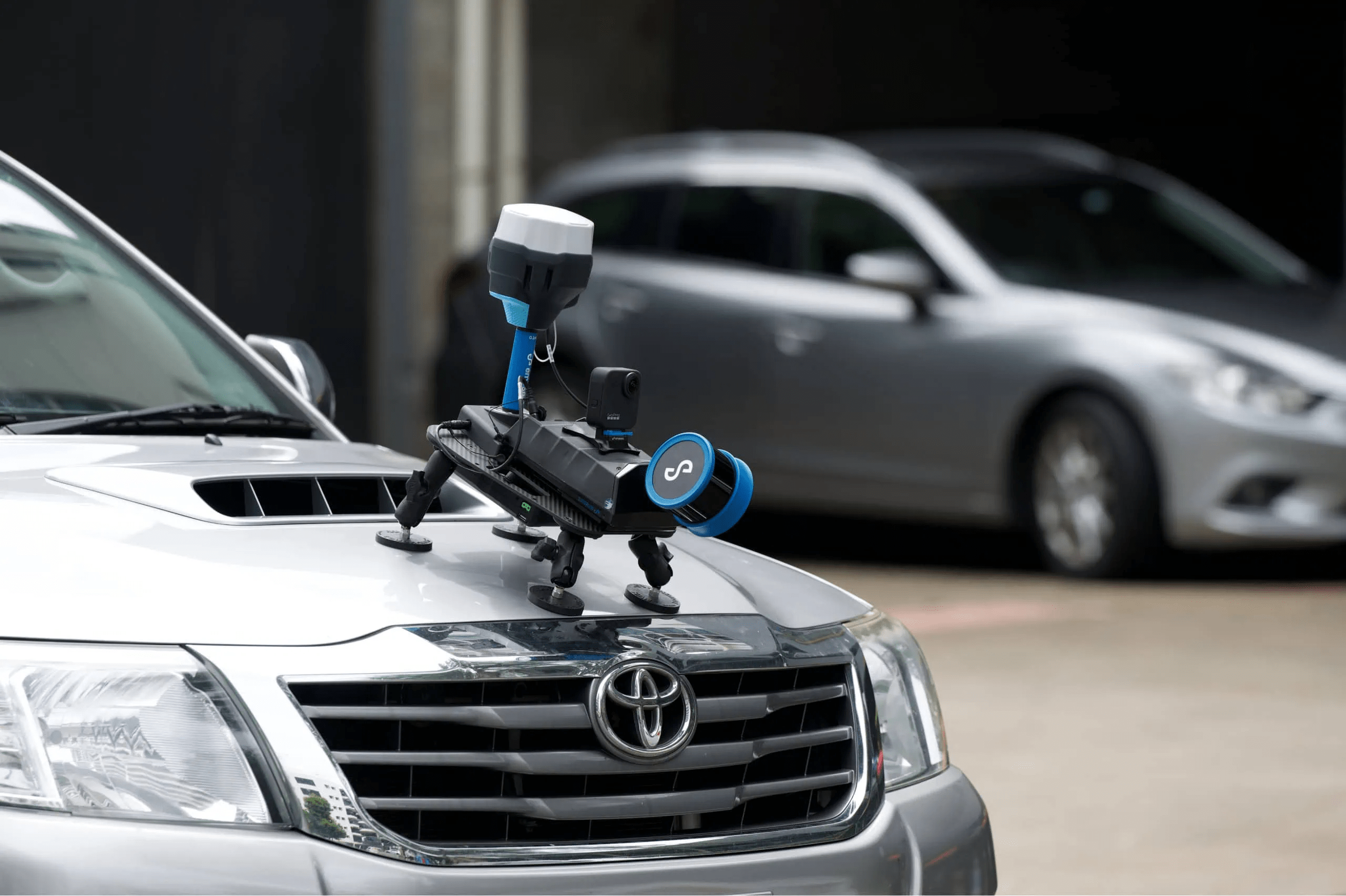
Precision Georeferencing
Automate high-accuracy georeferencing and drift-correction for Hovermap scans on DJI’s M300 and M350 drones with RTK support. Aura leverages RTK and SLAM technology to deliver fast, accurate, and precise above-ground drone scans on demand.
Enhanced Integration
Seamlessly integrate panoramic images with point clouds for enhanced contextual understanding. Aura supports Emesent’s Handheld 360 Image Kit, allowing you to align and register panoramic images with their related point clouds effortlessly.
Get in touch with Emesent to discuss how Aura can revolutionize your processing and visualization.