Skip to site menu Skip to page content

Improving Convergence Monitoring Using Lidar Data At Rio Tinto’s Argyle Diamond Mine

By Emesent
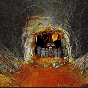
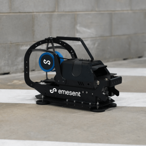
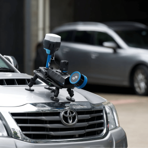
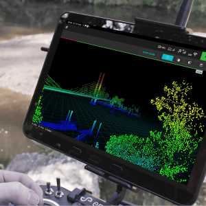
Rio Tinto engaged LiDAR specialist MINELiDAR to demonstrate an improved method for convergence monitoring. SLAM-based LiDAR data, captured by Emesent’s Hovermap mobile mapping system, was compared to traditional tape extensometer measurements. Designed for GPS-denied, harsh underground environments, Hovermap is able to rapidly scan and process accurate, high resolution point cloud data of drives and other excavations.
Enter your details below to view the free white paper

By downloading this whitepaper, you acknowledge that GlobalData may share your information with our white paper partners/sponsors who may contact you directly with information on their products and services.

Visit our Privacy Policy for more information about our services, how GlobalData may use, process and share your personal data, including information on your rights in respect of your personal data and how you can unsubscribe from future marketing communications. Our services are intended for corporate subscribers and you warrant that the email address submitted is your corporate email address.

Related Content