Skip to site menu Skip to page content
Flyability

Mapping and Surveying of Hazardous Areas with the Elios 3

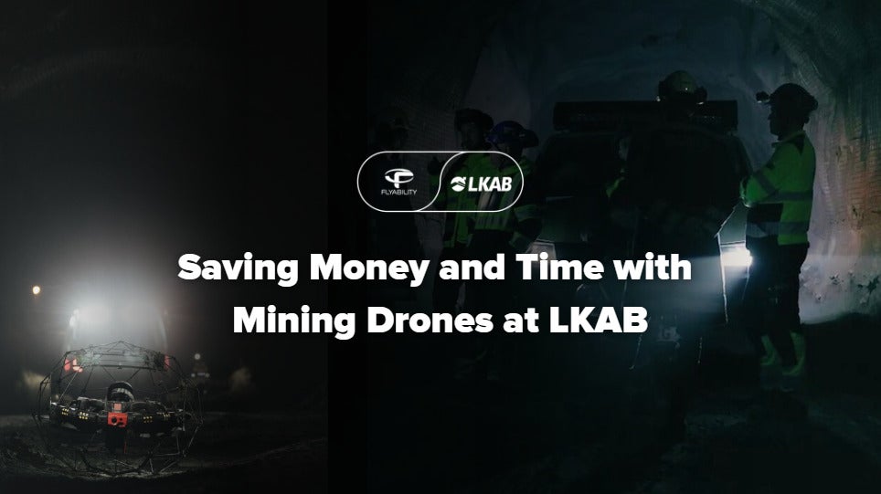
Ore passes are critical parts of a mine that need to be regularly inspected for deformations. Traditionally done by lowering a scanner on a custom-made 300kg trolley, this Swedish mine is now adopting a faster, safer, and more efficient way for gathering data. By using mapping drones, like the Elios 3, they were able to remotely inspect and map all their ore passes at a fraction of the time and accurately estimate the change in volume to calculate deformations and prevent hang-ups or plan for appropriate maintenance.

Enter your details below to view the free white paper

By downloading this whitepaper, you acknowledge that GlobalData may share your information with our white paper partners/sponsors who may contact you directly with information on their products and services.

Visit our Privacy Policy for more information about our services, how GlobalData may use, process and share your personal data, including information on your rights in respect of your personal data and how you can unsubscribe from future marketing communications. Our services are intended for corporate subscribers and you warrant that the email address submitted is your corporate email address.

Related Content