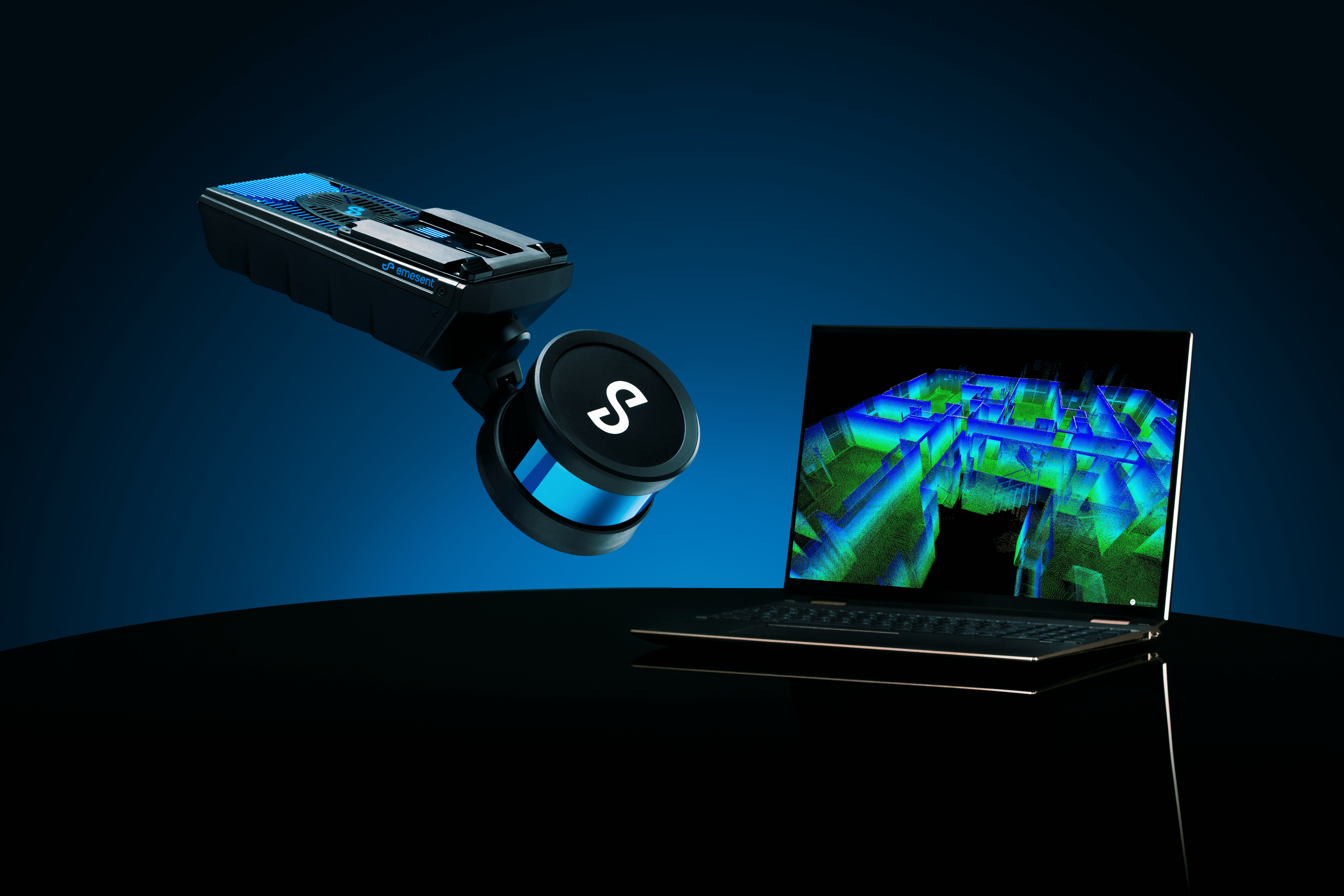
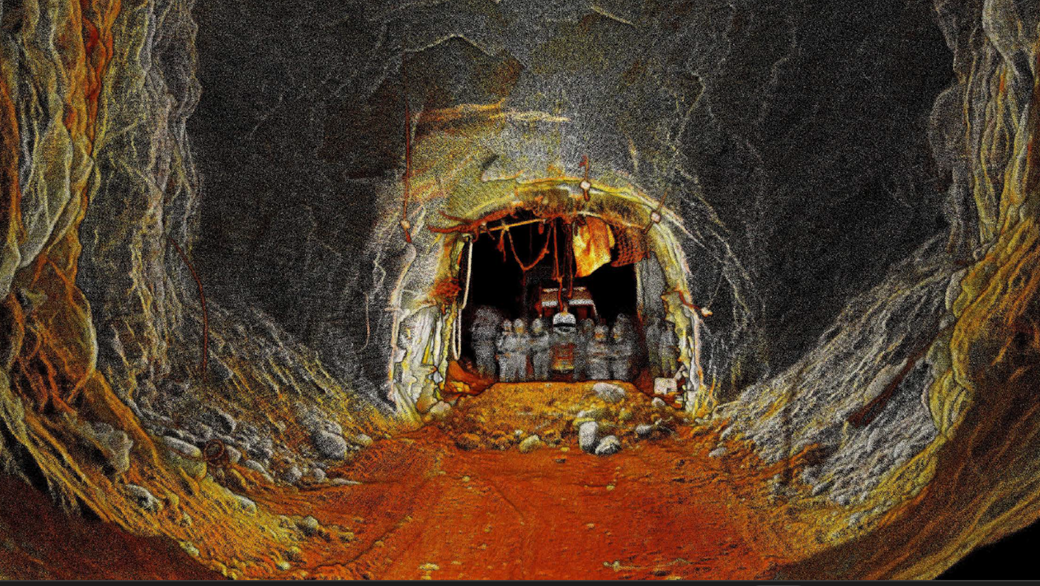

In underground mining, accurately and efficiently assessing the geometry and volume of mined stopes is essential to optimize production, monitor stope integrity and evaluate the quality of mined ore. However, access to voids is often restricted, hazardous, or prohibited, and the ability to obtain accurate and comprehensive data for timely decision making is a challenge.
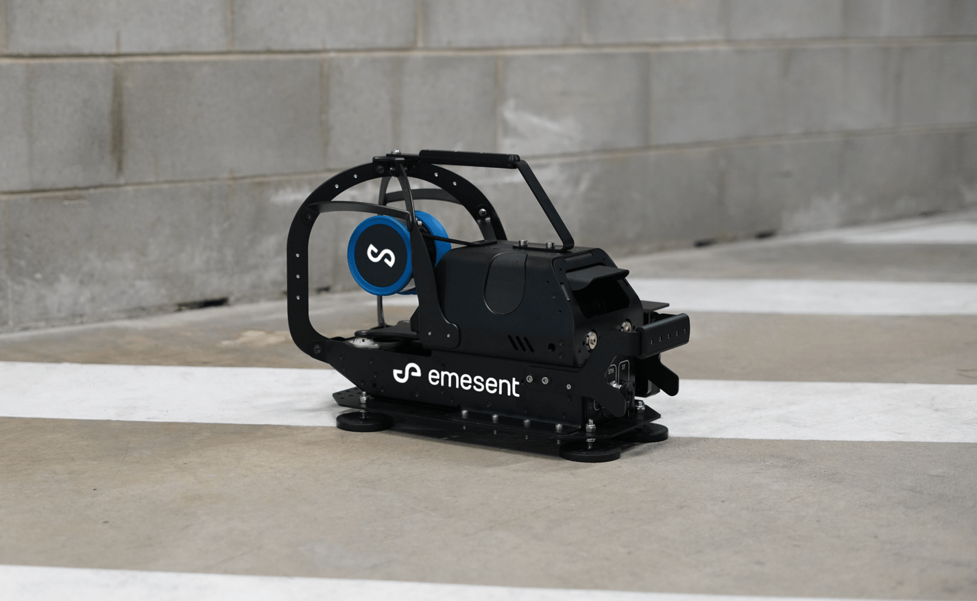
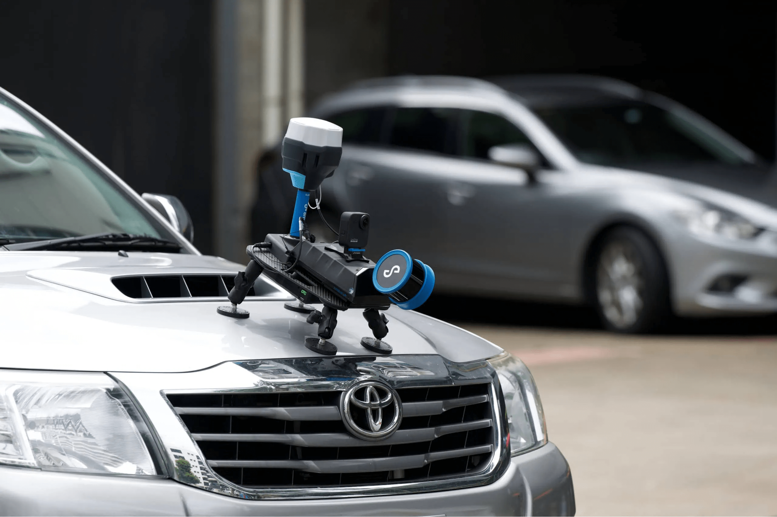
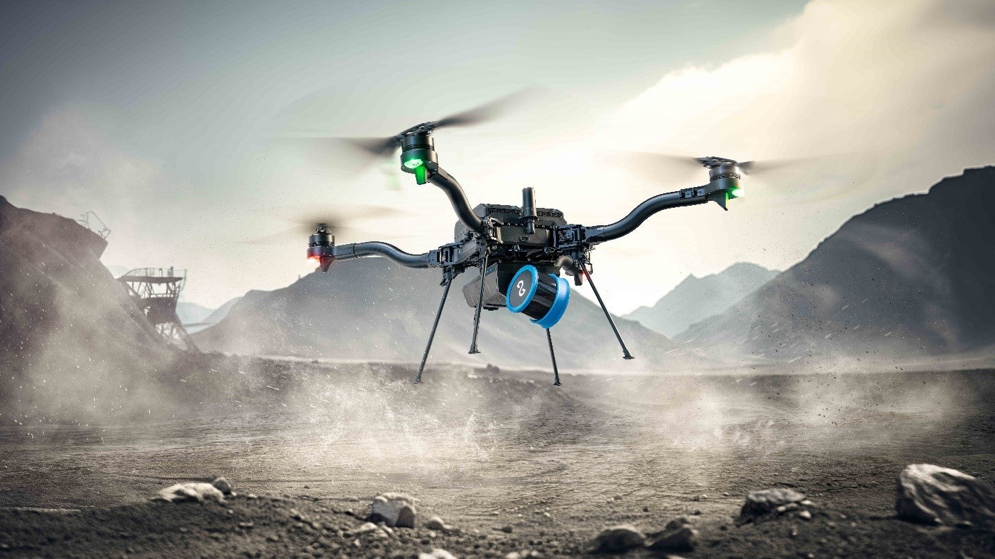
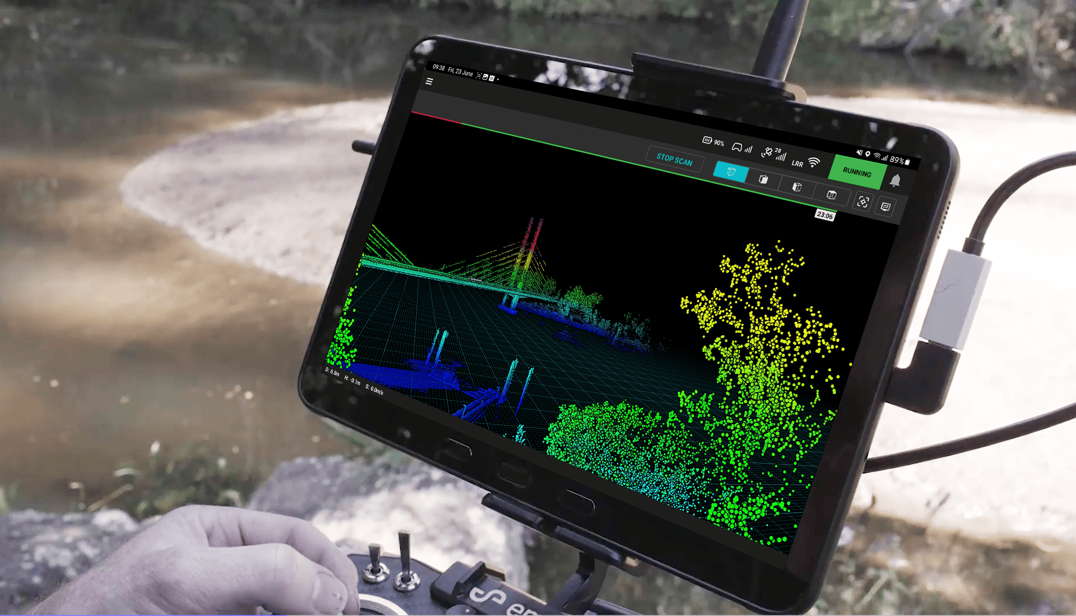
Hovermap’s SLAM-based LiDAR system delivers precise drone navigation in GPS-denied environments to enable safe, remote data capture in complex and hazardous areas. Significantly reducing data capture time, it provides highresolution 3D models within minutes, while delivering unparalleled accuracy for volume calculations, geological assessments, and reconciliation.
Download this white paper for more information.