Emesent partners with Pointerra to provide end-to-end workflows for LiDAR and panoramic imagery
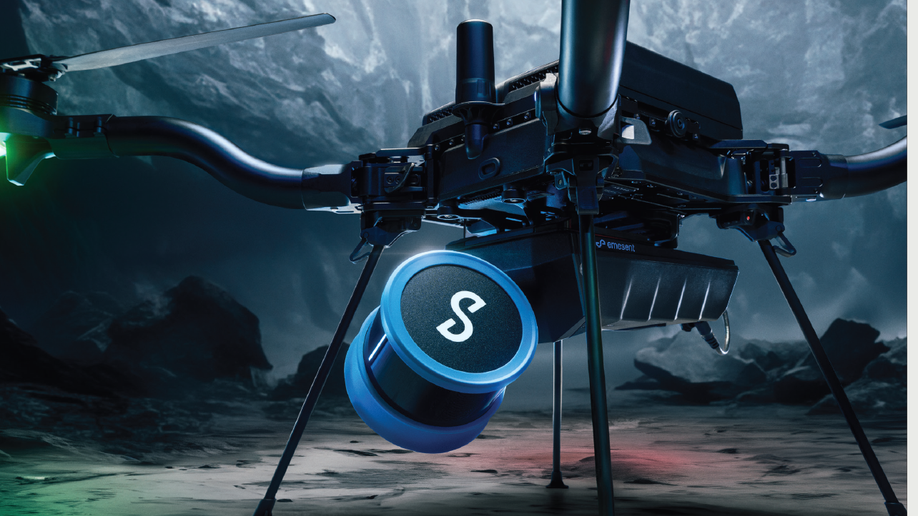
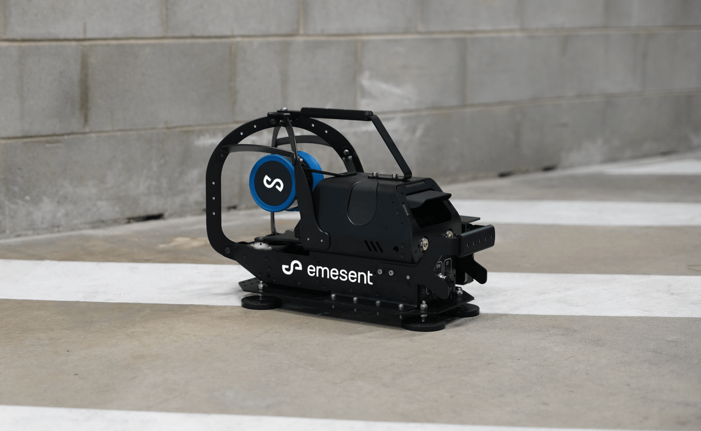
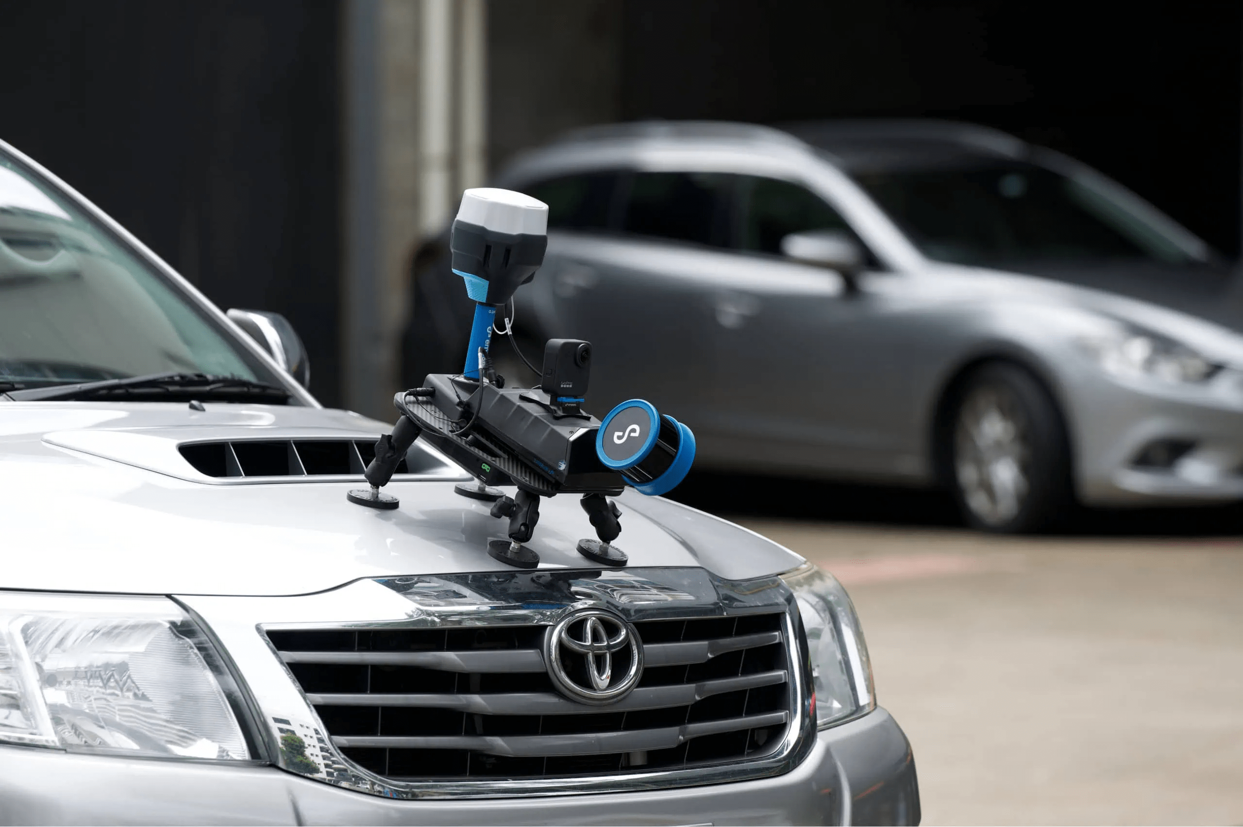
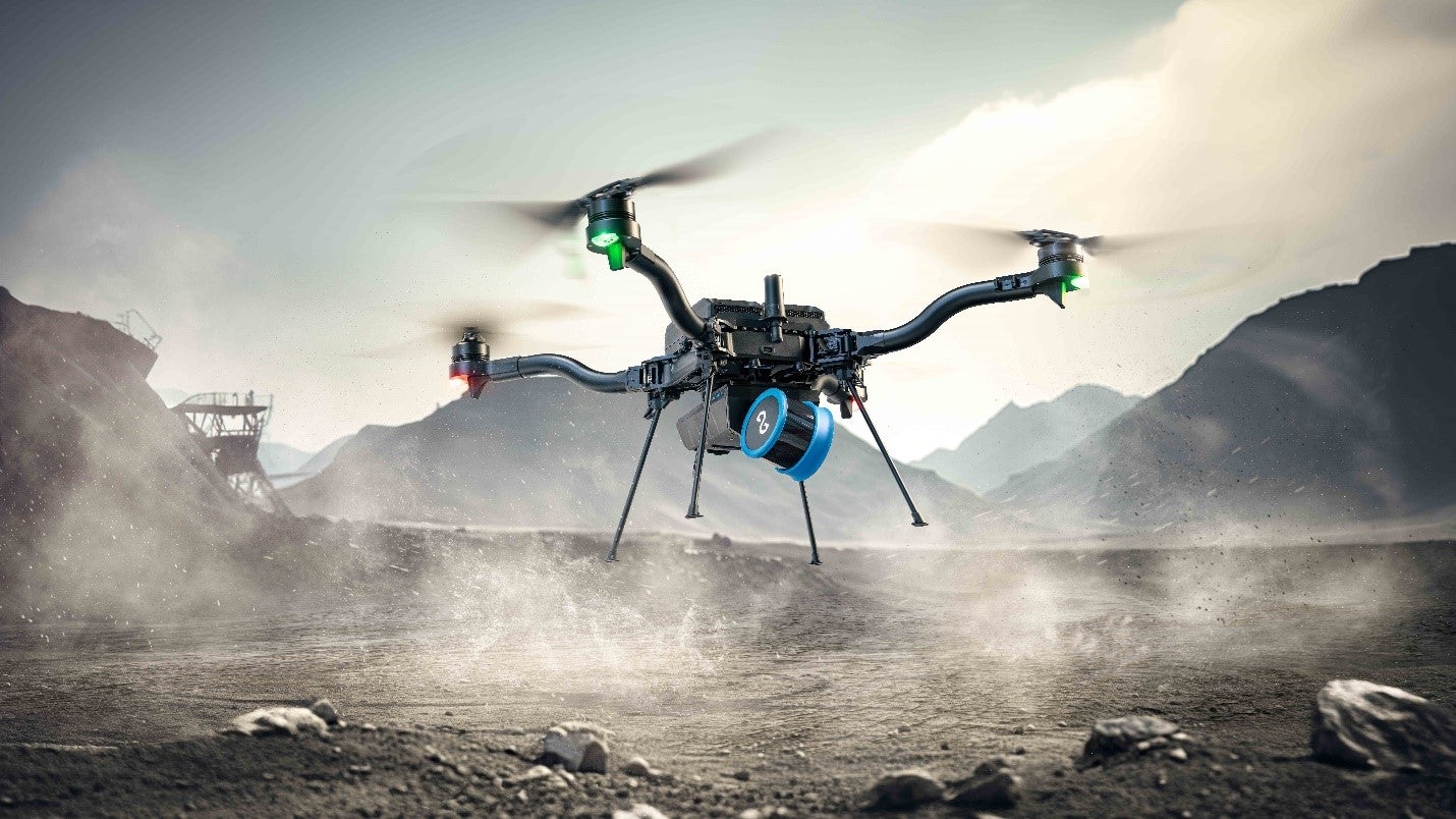
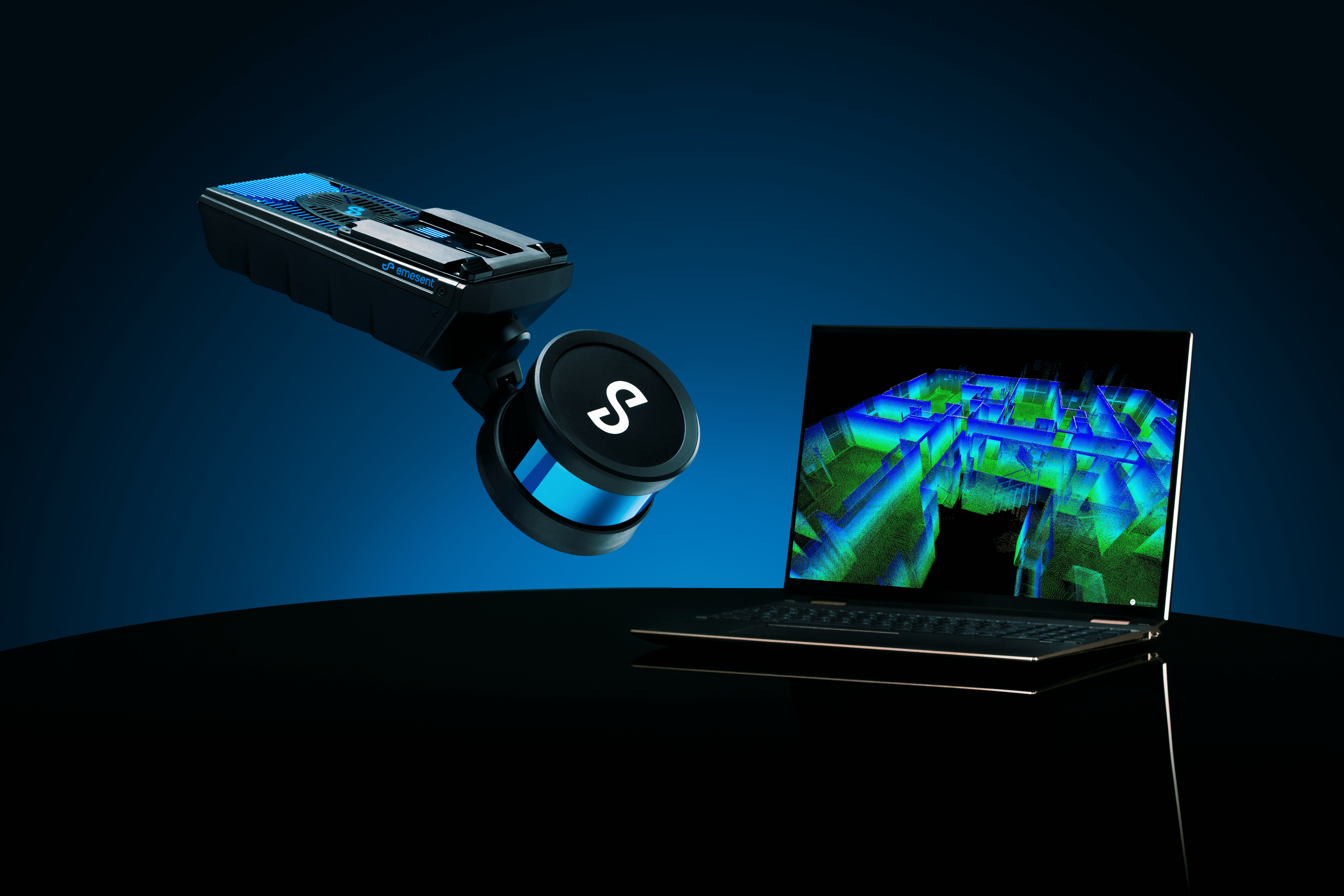
Emesent, makers of the award-winning Hovermap LiDAR mapping and autonomy solution, has partnered with Pointerra, developers of Digital Twin visualization, collaboration and analytics platform Pointerra3D, to view, share and derive insights from Hovermap point clouds online.
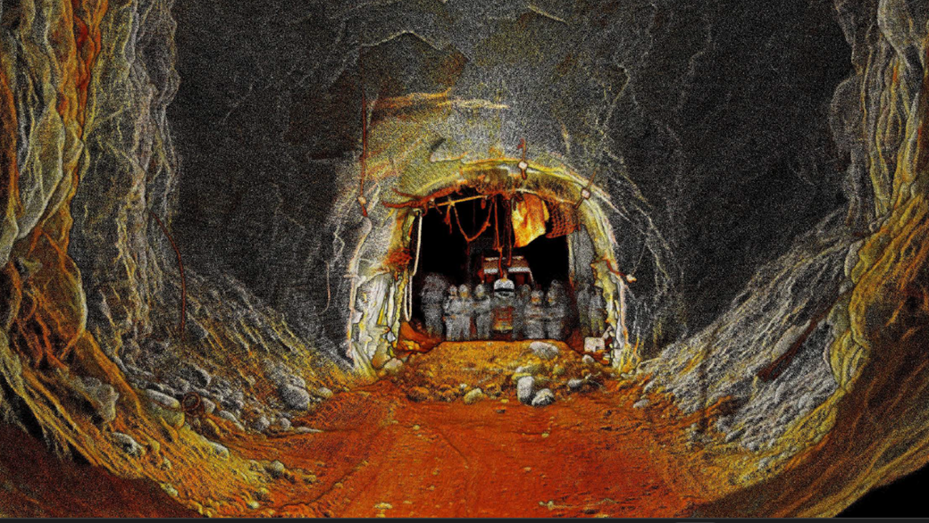
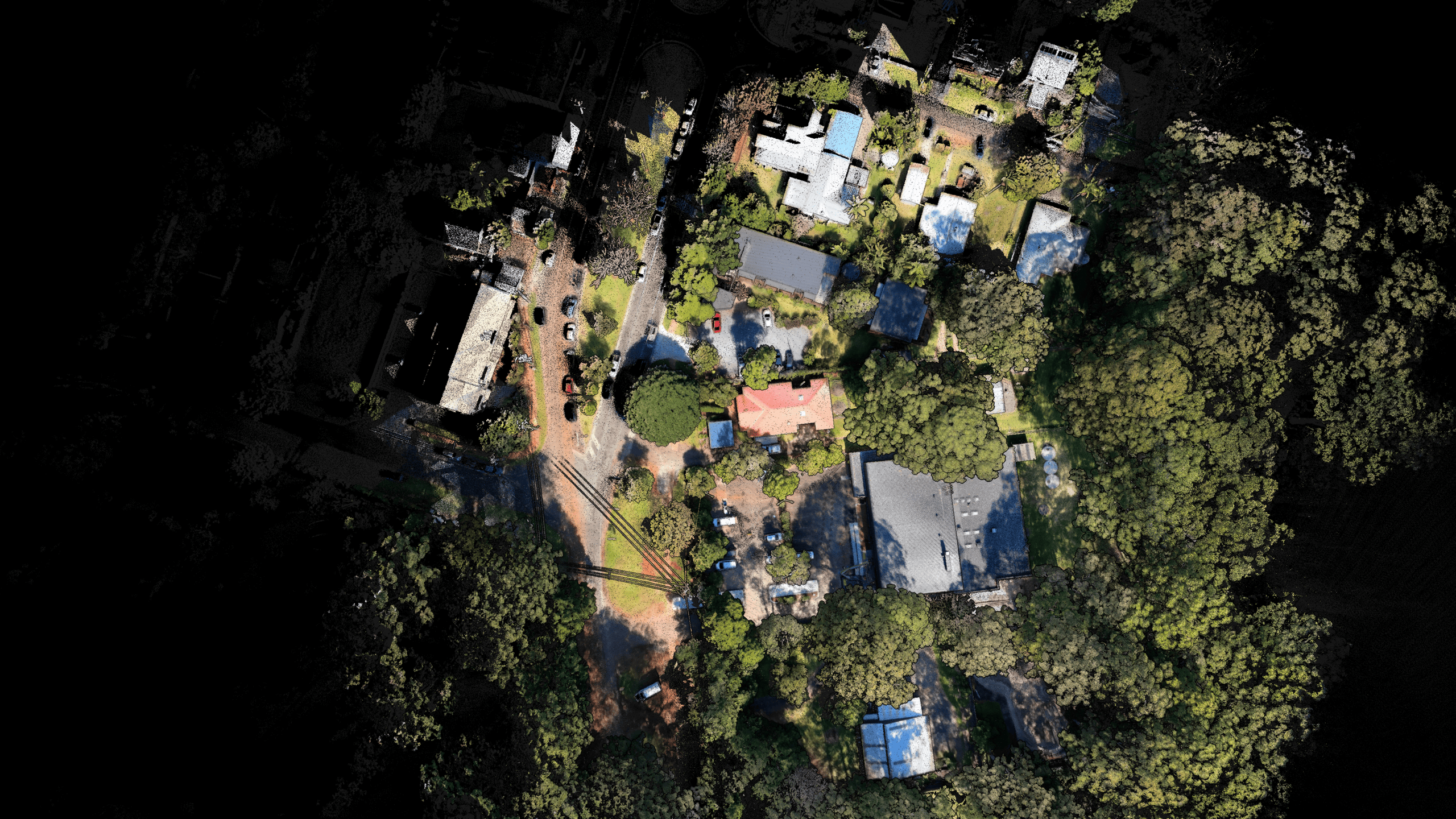
Pointerra’s cloud-based platform enables users to access, analyze, and consume multiple data types, including Hovermap LiDAR data associated panoramic images exported from Emesent’s Aura application.
A key driver for the partnership is to support the application of Hovermap within the AEC (Architecture, Engineering, and Construction) industry, where clients typically capture both LiDAR data and panoramic images together, and need to share and view the results online. With Emesent’s recent launch of their panoramic image kit for Hovermap, they saw the need to offer an end-to-end workflow from data capture to final deliverable for the powerful combination of LiDAR plus panoramic images.
“Hovermap is renowned for delivering fast, accurate, survey-grade 3D data, but for applications such as asset or site inspection, the captured LiDAR data can be even better understood when panoramic imagery is used to provide additional visual context,” said Emesent co-founder and Chief Strategy Officer, Dr Stefan Hrabar.
“Enhancing Hovermap point clouds with contextual panoramic imagery makes it easier to interpret the data, and communicate and collaborate on projects. Our aim is to make the relevant workflows from capture to analysis as streamlined as possible. To achieve that, we looked for a cloud-based visualization platform that could handle the rich 3D data and images produced by Hovermap. Pointerra3D is the perfect platform to support this goal,” Dr Hrabar said.
Managing Director of Pointerra, Ian Olson, said the end-to-end Digital Twin solution the partnership with Emesent creates will provide significant customer value.
“Pointerra3D allows users to more easily view, interpret, and understand the context of the 3D data they are seeing, including Hovermap’s point clouds enhanced with panoramic 360-degree imagery.”
“The value of being able to easily visualize, quickly interpret, and share data via a cloud platform – and therefore make decisions more efficiently – will continue to increase as related processes continue to evolve into digital workflows. Across city planning, construction, and infrastructure management, the potential for improved collaboration is global in scale,” Mr Olson said.
As part of the partnership Emesent and their reseller network will become resellers for Pointerra, offering a bundled solution of Hovermap and Pointerra3D.