
The Peak Hill Gold Mine, located 400km north-west of Sydney, was decommissioned in 2006. The mine occupied about 130ha of land within a larger exploration licence area of 40km².
In 2007 additional resources were discovered 24km north of the original site.
Recommended White Papers
Recommended Buyers Guides
History and geology
Gold was first discovered in the Peak Hill area in 1889, and from 1904 to 1917 a substantial hard rock mine was in operation that mined over 500,000t of ore in order to produce in excess of 60,000oz of gold. During this time, the mine implemented the relatively new cyanidation-zinc precipitation process, which resulted in overall recoveries of around 65%.
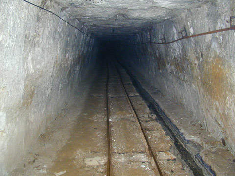
Although the original shaft development exceeded 200m vertical depth, production was limited to roughly 150m using standard underground driving and stopping. The site is between the large regional towns of Parkes and Dubbo in the Central West of New South Wales. From 1917 to 1996 only minor production was recorded in the area.
Alkane Resources first took an interest in the area in 1993 when it conducted a feasibility study. Development of the oxide mine was delayed by native title and environmental issues until 1996. Mining ceased in late 2002 but production continued up until 2006.
Under the new ownership, Peak Hill was interpreted as being located within the Ordocician magmatic arc, which extends north-south over 200km. This also includes the Goonumbla Volcanic Complex, which hosts the nearby Northparkes copper-gold porphyry system.
According to regional geological mapping by the Australian Department of Resources, the volcanics at Peak Hill form a fault bounded anticlinal structure overlain by the Ordovician sedimentary Cotton Formation and Mugincoble Chert, which are in turn overlain by Silurian sediments.
Detailed geological mapping and interpretation of aeromagnetic data from Alkane also revealed that the project area is covered by andesitic volcanic and volcaniclastic rocks which have a general north-south strike, with observed easterly facings east of the mine area. Significant transport cover obscures the sequence to the west while shaley sediments are common further to the east.
Production
From 1996 to 2006, Gold ore was mined by Alkane from the oxide deposit by conventional open pit mining from the main Proprietary-Parkers pit and three smaller satellite pits. Agglomeration heap leach and dump leach were also used to recover the gold. During this period a total of 153,000oz of gold was recovered.
Following site decommissioning and final rehabilitation in 2006, only the office infrastructure and wet plant (gold recovery circuit and ponds) remain at the site.
New discoveries
In 2007, Alkane discovered the Caloma deposit about 14km north of the Peak Hill Gold Mine. Details of the site – which goes under the title of the Tomingley Gold Project (TGP) – first emerged in early 2009.
TGP consists of three open-cut pits. An initial concept development plan was lodged with the Australian Department of Primary Industries. The project is estimated to be completed within a span of 7.5 years at an investment of $50m.
A definitive feasibility study on the project was completed in December 2010. Approximately 369,261oz of gold will be recovered over the estimated project life. The company is currently seeking funds for the project. The mine will require the construction of a 20km-long 66kV powerline from the Peak Hill substation to the mine site in order to process up to one million tonnes of ore a year.
Alkane Resources has secured a water licence to supply the water required for the mining operations, and will soon lay a 45km pipeline for the purpose. Due to some undisclosed obstacles, the commencement of the project has been delayed and is expected to start in 2011.