Skip to site menu Skip to page content
Flyability

Localisation and Classification of an Ore Pass Hang-up with the Elios 3 Surveying Drone

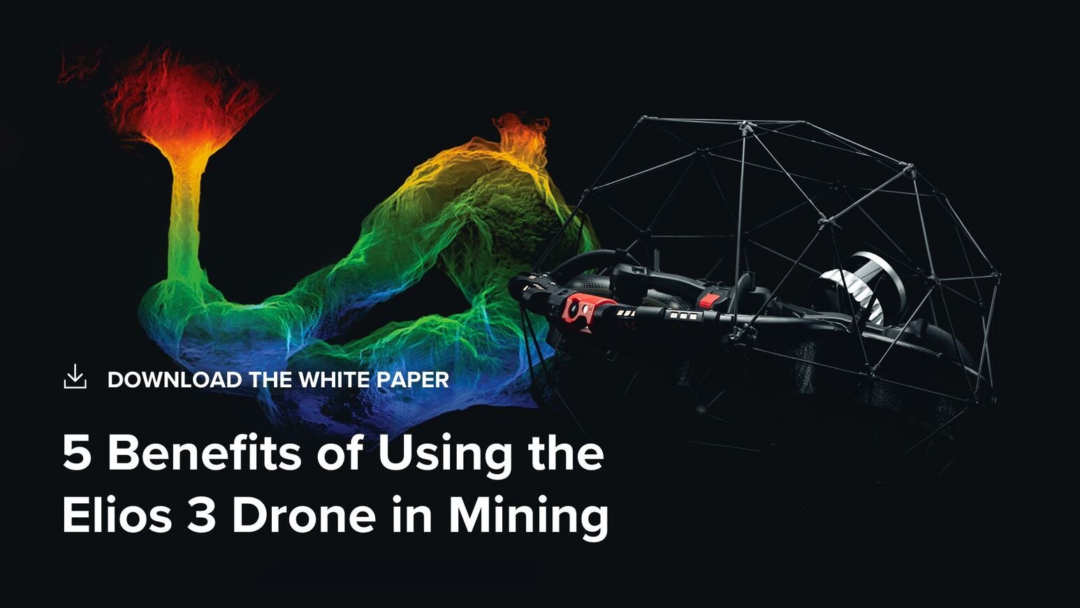
Identifying a hang-up in inaccessible spaces like ore passes can take weeks or months with traditional methods, requiring a section of the mine to stop operations and leading to significant revenue losses. CMS scanners often provide incomplete data and lack any visual footage. The Elios 3’s 3D Live Map and its geolocational data allowed mine personnel in Colorado to see exactly where the hang-up was located, the size of the hang-up, and how it was situated in the ore pass, potentially saving weeks of exploratory drilling.

Enter your details below to view the free white paper

By downloading this whitepaper, you acknowledge that GlobalData may share your information with our white paper partners/sponsors who may contact you directly with information on their products and services.

Visit our Privacy Policy for more information about our services, how GlobalData may use, process and share your personal data, including information on your rights in respect of your personal data and how you can unsubscribe from future marketing communications. Our services are intended for corporate subscribers and you warrant that the email address submitted is your corporate email address.

Related Content