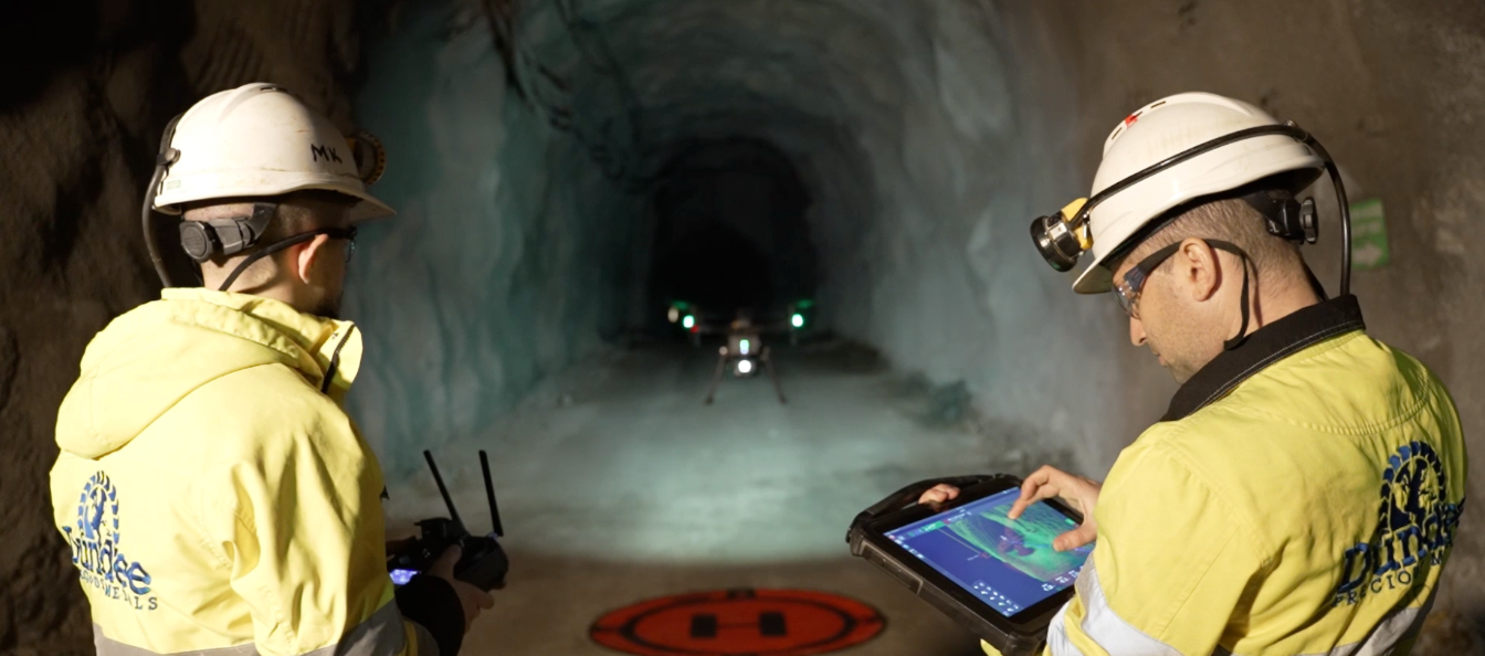
Mapping 30 Stopes In 3 Days with an Autonomous Drone
Rupert Resources, a Canadian-based gold exploration and development company, were planning a potential restart of a historic gold mine in Central Lapland in Northern Finland.
Before it could be reopened, they needed to estimate the tonnage previously removed from the mine, as well as calculate the remaining ore. However, the areas to be measured were in heavily restricted sections of the mine.
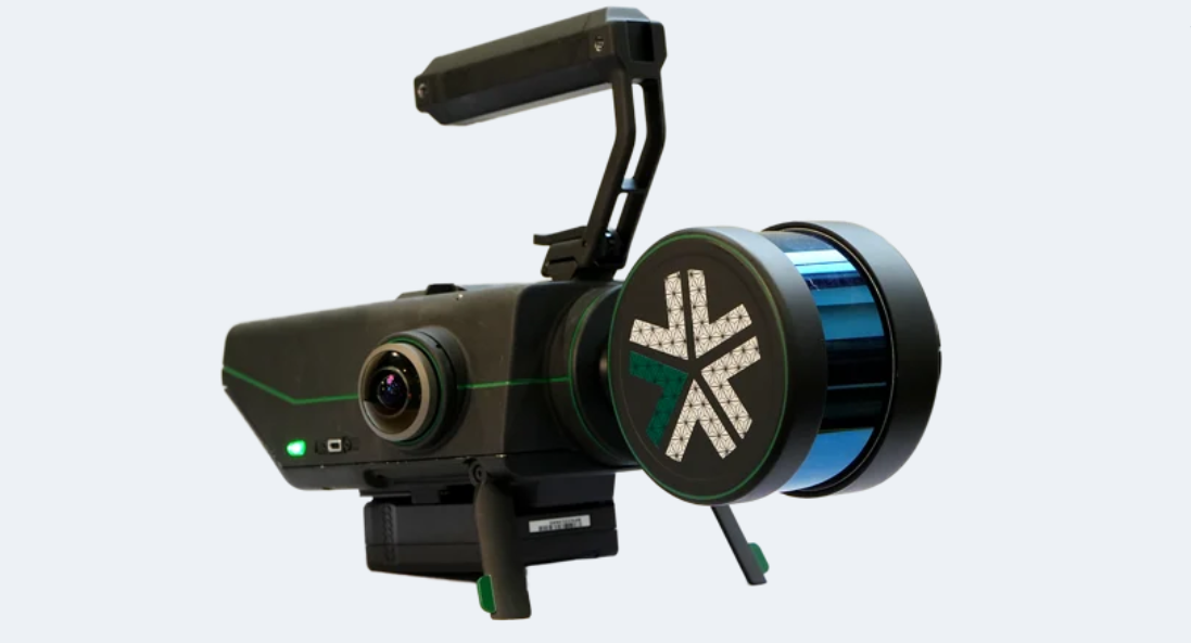
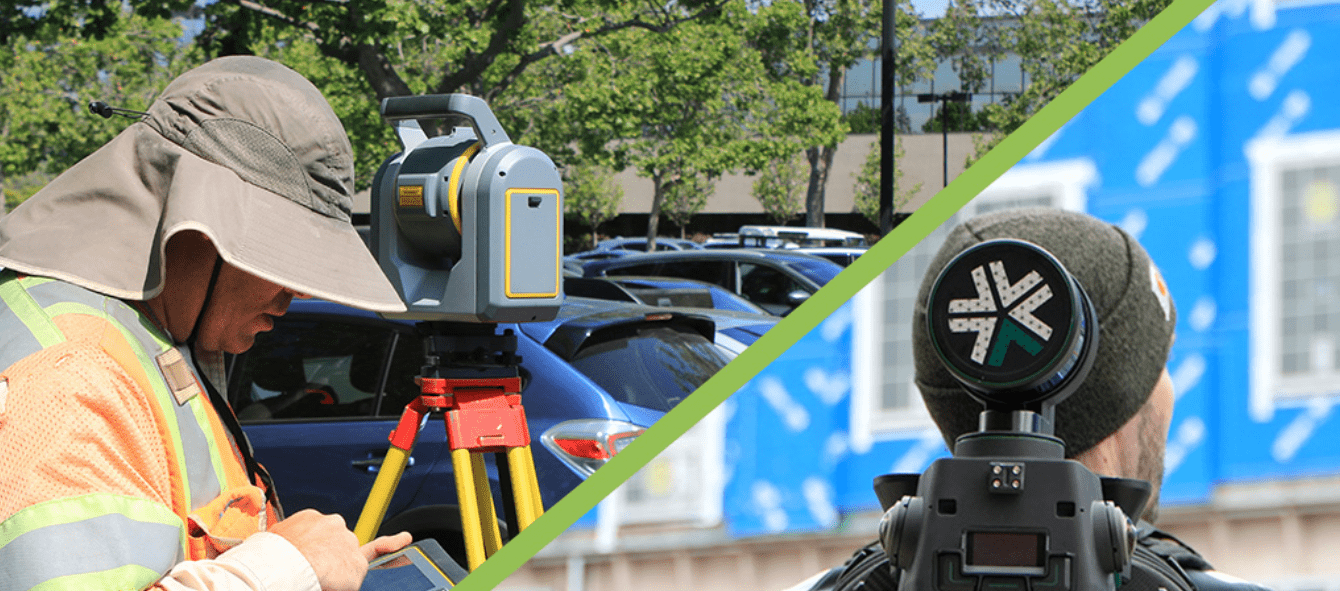
Typically, surveyors map stopes — which are open spaces, or cavities, in an underground mine — using a static LiDAR scanner that’s extended into a cavity. But static scans can miss sections of a stope, creating “shadows” and leaving maps incomplete or inaccurate.
Download case study here – https://www.mining-technology.com/downloads/whitepapers/ps-robotics/mapping-30-stopes-3-days/#exyn-technologies