Deswik Spatial: Mining’s Most Comprehensive CAD Solution
One platform. End-to-End confidence
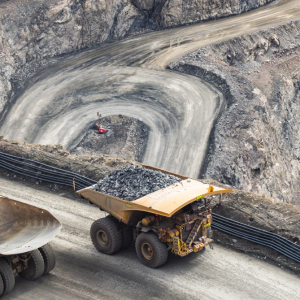
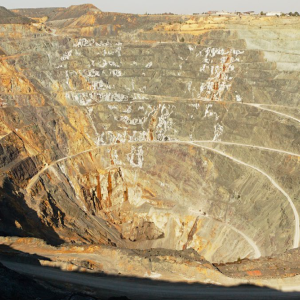
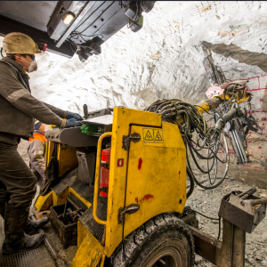
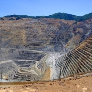
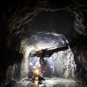
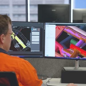
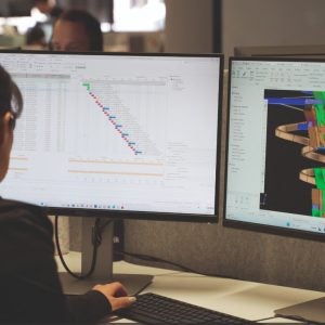
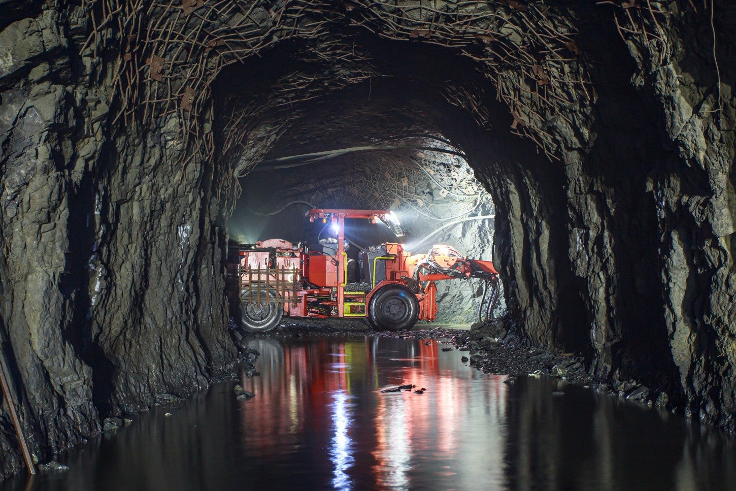
Deswik Spatial is the industry-leading end-to-end CAD solution designed to meet the demands of modern mining operations. With seamless data integration, world-class 3D modelling, and advanced geospatial analysis, it empowers engineers to create detailed design plans, streamline workflows, and support environmental stewardship for surface and underground mining.
Built for performance. Engineered for scale.
- Effortlessly model complex 3D solids
- Handle large mining datasets with exceptional graphics performance
- Generate solids, slice geometry, and execute Boolean operations with precision
- Automatically repair invalid solids imported from other mining systems
See Deswik in action
Unlock the full potential of Deswik Spatial through a guided demonstration. Our experts will walk you through the mining industry solutions that are optimising and transforming surface and underground mining planning across the globe, driving productivity, accuracy, and operational confidence.
World-class training & support
We’re committed to your success. Deswik offers flexible training options and expert support to ensure you get the most from your software investment.
Whether you’re onboarding new users or optimising workflows, our global team of surface and underground mining professionals is here to help, every step of the way.
Click the Download button to learn more.