Canada-based minerals explorer ALX Resources has secured an exploration permit from the Saskatchewan provincial government for its McKenzie Lake uranium project.

Owned 100% by ALX, the McKenzie Lake project is located on the eastern margin of the Athabasca Basin, 20km from its Javelin uranium project.
There are a total of five claims covering 6,916 hectares of land.
The company initially acquired four claims from a third-party vendor. The fifth claim was acquired in 2021.
In April this year, the company applied for a low-impact, surface exploration permit with the government, as a follow-up to a high-resolution magnetic and radiometric airborne survey. Subsequently, ALX received the exploration permit last month.
The McKenzie Lake-based high-resolution airborne magnetic and radiometric survey by Special Projects yielded detailed information about geological structures and identified radiometric ‘hot spots’ for future investigation.
Later on, the company claims to have used artificial intelligence to select target areas for surface prospecting at the project.
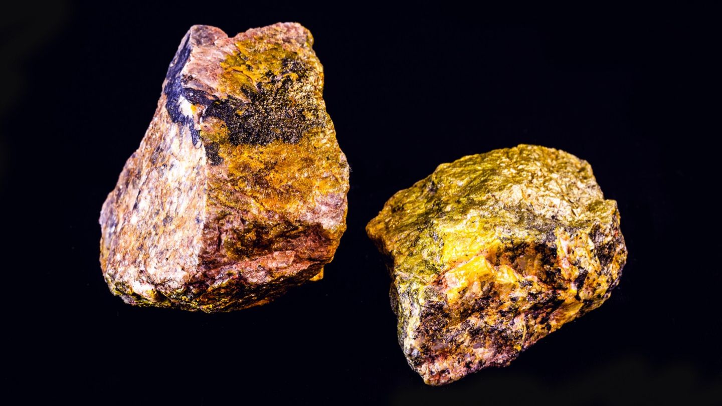
Samples collected from a brief visit to the McKenzie Lake site have revealed assays of 844 parts per million (ppm) at 0.101% triuranium octoxide (U₃O₈), 273ppm and 259ppm. The results, particularly with 844ppm, are said by the company to be anomalous, warranting further investigation.
Describing the 844ppm sample, ALX noted that it was collected from an orthogneiss boulder with potassium feldspar-quartz and chlorite-actinolite layers. Trace galena and minor clay alteration and sericite were also observed.
Geochemical analysis showed high calcium, and photographs suggest the rock is part of calcareous arkose or calc-silicate rocks being part of Wollaston Domain metasediments.
Higher levels of iron and magnesium in the sample suggest hydrothermal alteration associated with uranium mineralisation. In 2021, Baselode Energy discovered uranium mineralisation at a nearby near-surface location.
With these results, ALX is planning to also conducting a detailed soil and till sample orientation survey at the area from which the sample was collected. It will also compile previous work such as soil and till, lake sediment and rock samples for geochemical analysis.
In addition, it plans to identify prospective areas as a follow-up based on the compilation of historical data and its recent works.