
AutoMap is an Australian owned and operated manufacturer of high-end mobile lidar scanning systems.
We utilise the latest in WildcatSLAM technology developed by the CSIRO to create accurate and colourised HD-maps for the mining, construction, architecture and engineering industries. Our tools are designed to aid survey teams across multiple industries to create accurate digital twins for inspection, planning and design.
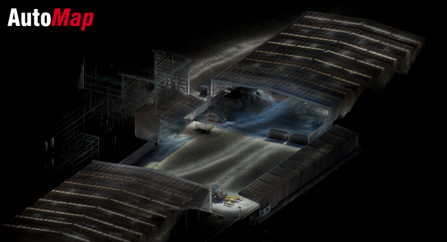
Mapping solutions for the mining industry
The combination of the award-winning Wildcat Slam algorithm paired with high quality lasers and RTK GPS makes AutoMap’s scanner unrivalled in creating accurate, high quality and repeatable maps in nearly any environment.
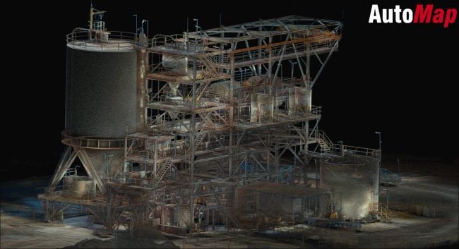
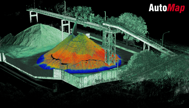
Combining four specially calibrated 4k video cameras mounted on all sides of the scanner, colourising maps has never produced a more vibrant and accurate colourised scan.
Innovative automated scanning systems
By simply pushing a button the TerrusM and VellusX spring into action and start collecting millions of points per second.
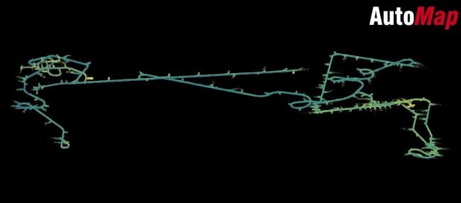
With each spin of the laser, AutoMap’s scanners automatically capture complex large-scale environments avoiding the painful process of manual post-registration.
The autonomy doesn’t stop with the scanning process. Registration, colourisation, Geolocation and point cloud sharpening are all fully automated and accessed again by a simple push of a button on the intuitive user interface.
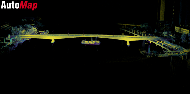
Solutions for enhanced mobility and accuracy
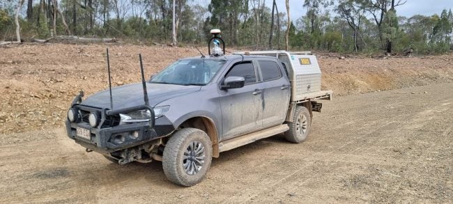
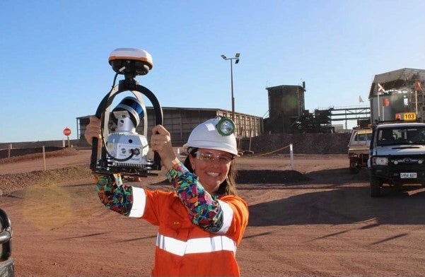
Large areas can be scanned with ease using either AutoMap’s backpack or by mounting onto a light vehicle.
AutoMap’s high strength magnetic feet allow for seamless, easy and secure installation on any vehicle for rapid scanning of roads, constructions sites, both above and subterranean mines and other large indoor and outdoor spaces at driving speeds.
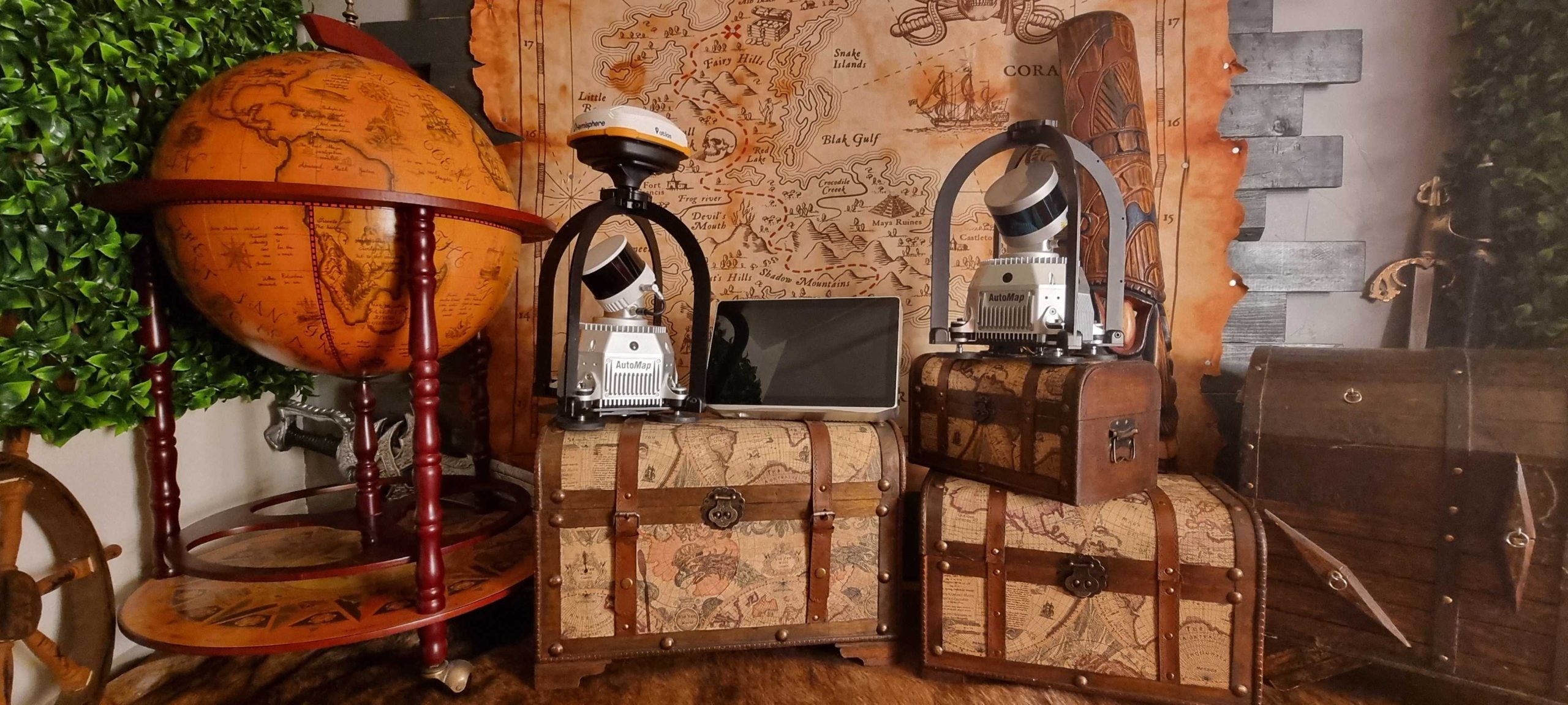
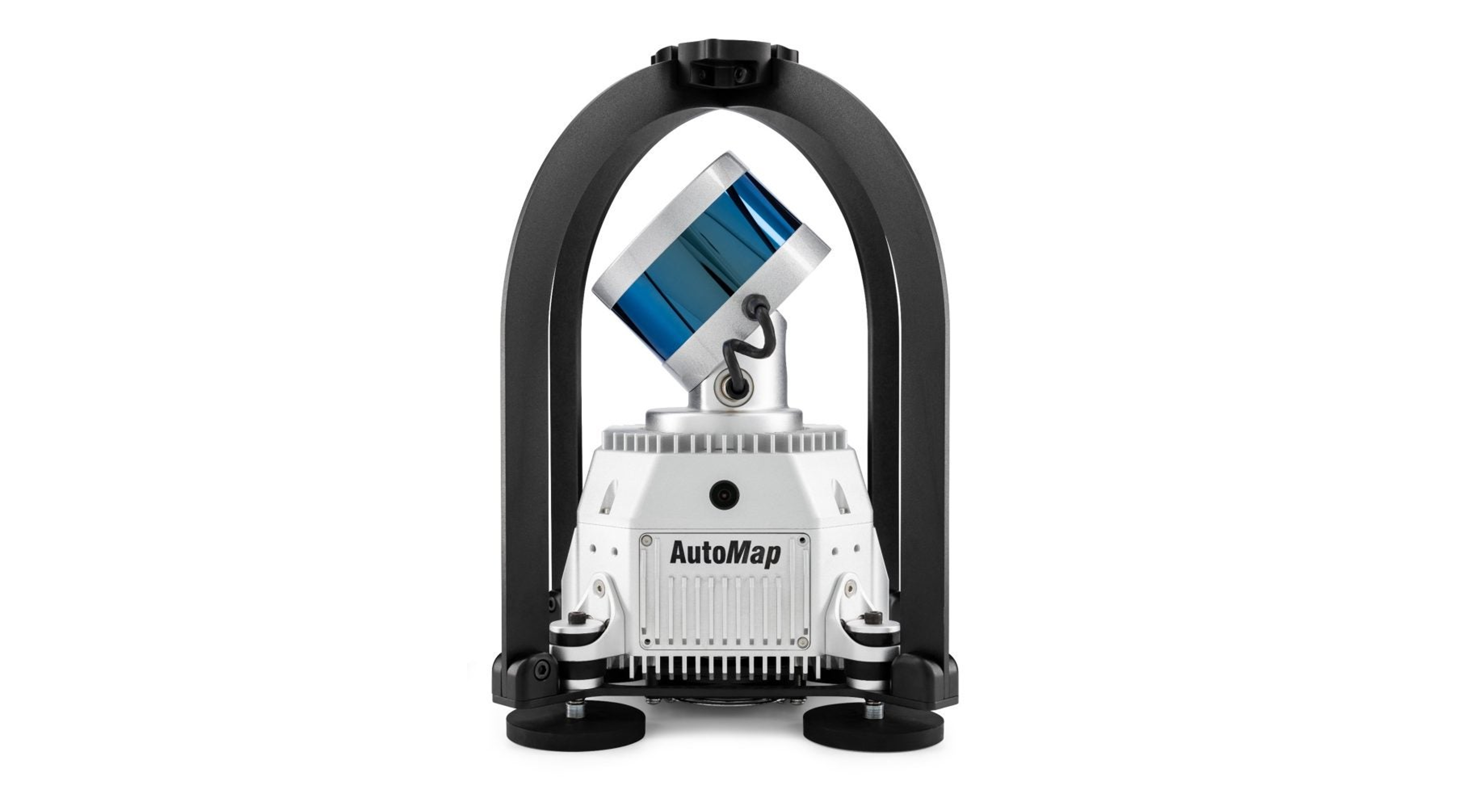
The TerrusM and VellusX are both fitted with cutting edge laser technology with each unit being modified and individually calibrated to ensure extremely tight data each and every time you scan.
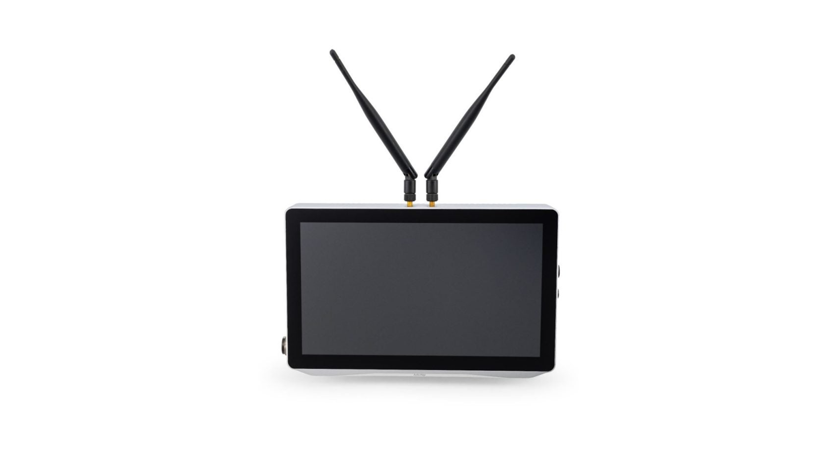
The TerrusM collects 1,200,000 points per second with the Vellus X topping the range at 1,800,000 points per second, guaranteeing exceptional odometric stability with ultra low drift. The Terminal touch screen allows you to visualise the high detail maps on device before you leave site in order to ensure that you never have to go back to rescan again.
Globally registered systems for mining operations
The VellusX scanner is tightly coupled with RTK GPS boasting 800+ channels to ensure high quality RTK observations are collected throughout the entire scanning process.
Avoid the need to establish intermediary control for trajectory realignment by connecting to your nearest NTrip base station to automatically achieve RTK GPS accuracies. Seamless transition between GPS available and GPS denied spaces to capture accurate data at driving speeds leverage the Ultra low drift WildcatSLAM engine when GPS is obstructed and RTK GPS for realignment when you are in open sky environments.
View a real-time map of the scene as you drive around with GPS overlayed so that you can take comfort knowing that the tools are at your fingertips to be able to capture almost any scene at the push of a button.
AutoMap strives to be the best in the SLAM community by continually working with the CSIRO to improve the SLAM environment as well as the workflows. Update your system remotely ‘over-the-air’ to ensure that you have access to the latest capability in industrial scanning.