
Software, Consulting and Training Services
RockWare was founded in 1983 to provide geoscientific software and consulting to a variety of markets, including petroleum, mining, environmental and civil engineering.
You have successfully submitted your enquiry. Someone from our company will respond ASAP

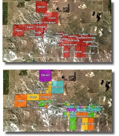
RockWare®, Inc. has been a leading developer and distributor of geological and GIS software products used by the mining industry since 1983. RockWare® also provides training and consulting services to aid in subsurface visualization, resource estimation and exploration planning. Three key products from RockWare — LogPlot®, RockWorks® and the RockWare GIS Link® — provide geologists and engineers with indispensable tools for visualizing and analyzing their surface and sub-surface mining data.
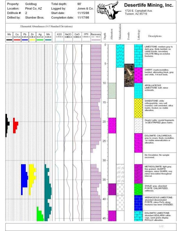
The LogPlot software has been used by geoscientists since 1983 to display their lithologic, geotechnical, assay and core data as graphical drillhole log reports. Compile the data into the design at any vertical scale for single-page, multi-page, or continuous logs. LogPlot offers almost unlimited flexibility for log layout via its easy-to-use, built-in log designer. LogPlot can directly export your logs as PDF of HTML format for easy distribution to clients. LogPlot now supports Unicode characters so you can produce a log in any language. It also can save and access directly to RockWorks SQLite database. Automatic backups help you be sure your progress is saved.
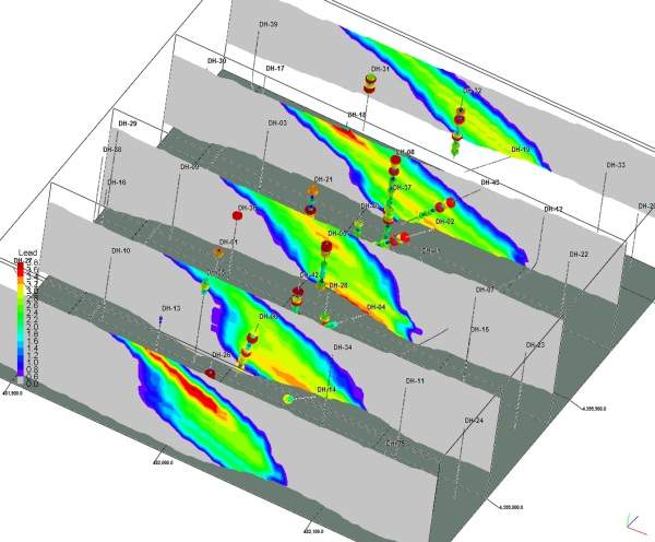
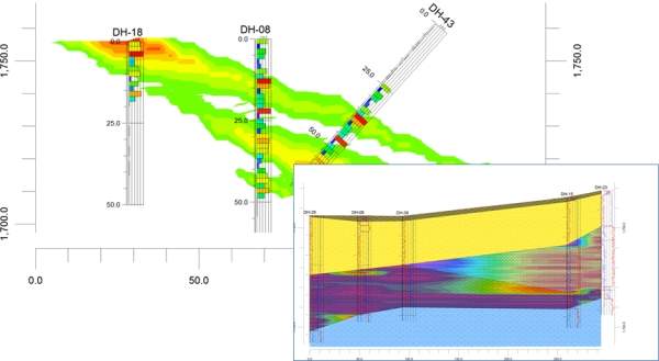
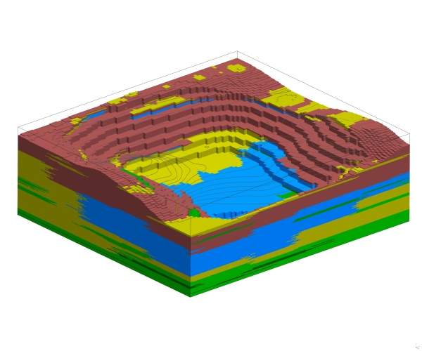
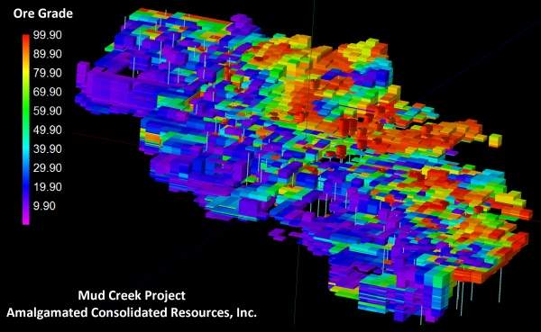
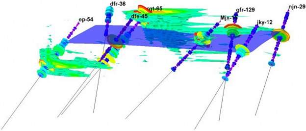
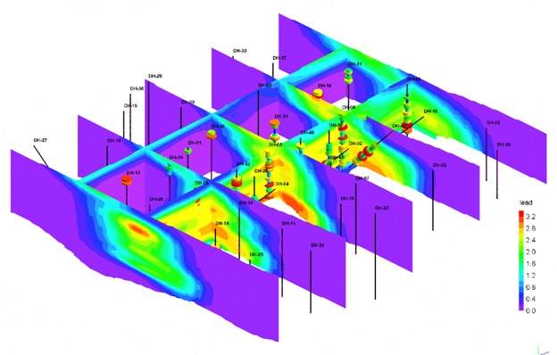
RockWare’s flagship product, RockWorks, includes a Borehole Manager database to store subsurface information collected during drilling, core logging and lab analysis. Data stored in the database is used during the creation of plan maps, cross-sections, profiles, fence diagrams and three-dimensional displays of drillholes and block models.
Use RockWorks17 to model and analyze the following types of data:
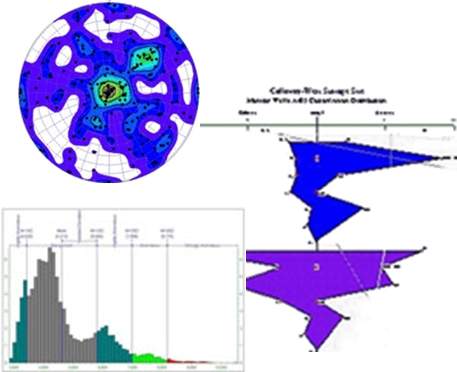
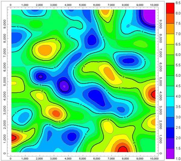
The latest version of RockWorks makes it easier than ever to illustrate complex geological cross-sections or profiles. Display contours of assay information, correlated lithology and stratigraphy, or create your own illustrations using new drawing and snapping tools, including automatic links to the lithology and stratigraphy pattern libraries.
The RockWorks Utilities (included in RockWorks Basic and above) are an indispensable collection of mine mapping, modeling, analysis and display geotools. They provide geologists and engineers with an excellent array of essential geotools, including:
RockWorks is offered with three program levels so that you can purchase just the features you need. Each level contains the preceding ones.
RockWare was founded in 1983 to provide geoscientific software and consulting to a variety of markets, including petroleum, mining, environmental and civil engineering.
Registration is now open for our forthcoming RockWorks class.