The US Geological Survey (USGS) has partnered with the National Aeronautics and Space Administration (NASA) to use advanced airborne imaging to map critical minerals in the US’ south-west regions.
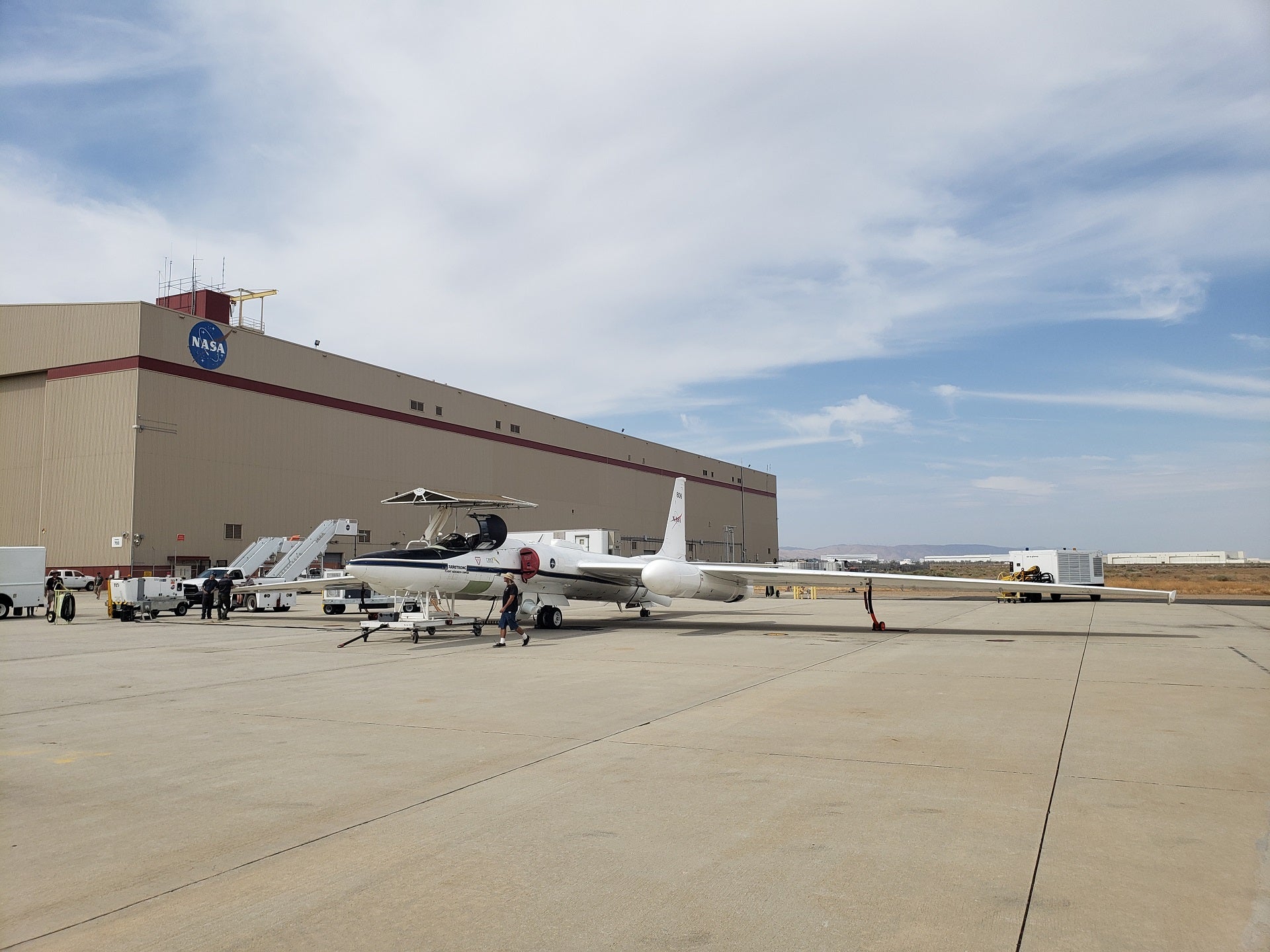
The Geological Earth Mapping Experiment (GEMx) project will involve using NASA’s ER-2 and Gulfstream V aircraft to collect measurements over the country’s arid and semi-arid regions.
Go deeper with GlobalData

Discover B2B Marketing That Performs
Combine business intelligence and editorial excellence to reach engaged professionals across 36 leading media platforms.
These will include parts of Nevada, California, Arizona and New Mexico.
The aircraft will be equipped with NASA’s Airborne Visible/Infrared Imaging Spectrometer (AVIRIS) and Hyperspectral Thermal Emission Spectrometer (HyTES) instruments.
NASA said that the new observations will record the spectroscopic impressions of surface minerals across hundreds of wavelength bands.
This data would be used to find a potentially wide variety of minerals, including primary rock-forming minerals, as well as mineral weathering or alteration.
NASA administrator Bill Nelson said: “This project builds on our 60-year legacy and can show us where to look for the resources that support our transition to a clean energy economy.
“With our partners at USGS, NASA has led the way in developing these Earth observation systems to gather information to measure and monitor the environment and climate change.”
As part of the GEMx research project, USGS and NASA will also assess critical mineral potential in mine waste.
Planned to be carried out over a period of five years, the $16m project is being funded by the USGS Earth Mapping Resources Initiative through investments from the Bipartisan Infrastructure Law.
USGS director David Applegate said: “This exciting scientific effort is made possible through President Biden’s Bipartisan Infrastructure Law investments and will enable NASA and the USGS to leverage our unique capabilities toward a common goal.
“The data we’re collecting will be foundational for not only critical minerals research but also for a wide range of other scientific applications, from natural hazard mitigation to ecosystem restoration.”