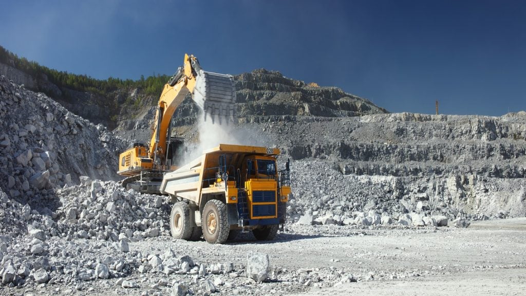
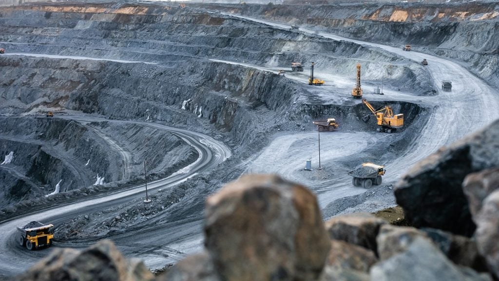
Canada-based MPX Geophysics has commenced flying high-resolution airborne magnetic and radiometric surveys at Newrange Gold's Pamlico gold project in Nevada, US.
Newrange is also planning to conduct a ground-based gravity survey later this month.
Go deeper with GlobalData

The geophysical surveys are being carried out to assess subtle alteration styles, and the distribution and extent of favourable rock types that comprise the gold occurrences at Pamlico.
The surveys are expected to gather information on known targets and reveal potential targets for future exploration.
Additionally, the geophysical surveys will be used to refine drill targets in combination with the mapping and sampling programmes that are currently underway at the site.
See Also:
The aim of the airborne magnetic survey is to demonstrate weakly to strongly altered volcanic rocks and areas of relatively unaltered mafic volcanic rocks, as well as identify near-surface and deeper intrusive bodies.
How well do you really know your competitors?
Access the most comprehensive Company Profiles on the market, powered by GlobalData. Save hours of research. Gain competitive edge.

Thank you!
Your download email will arrive shortly
Not ready to buy yet? Download a free sample
We are confident about the unique quality of our Company Profiles. However, we want you to make the most beneficial decision for your business, so we offer a free sample that you can download by submitting the below form
By GlobalDataThe radiometric portion is expected to differentiate and identify surficial expressions of numerous types of alteration.
Gravity data will be useful in modelling the post-mineralisation pediment cover on the property, which is said to contain extensions of mineralised structures.
Near-term work currently planned at the project site includes a ground-based gravity survey, trenching works and extending the scope of the underground mapping and sampling programme.
The company has also outlined plans to conduct additional RC drilling of Merritt Zone in the third quarter of this year, as well as begin drilling operations in the new target zones in the third and fourth quarters.