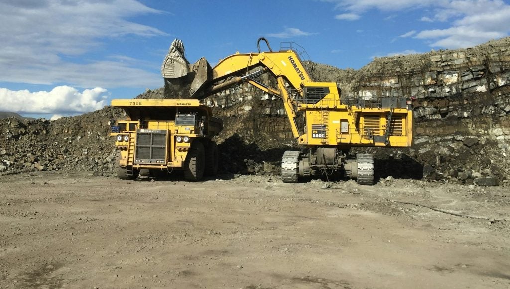

There are many industries that require detailed knowledge of geography, geology or spatial measurements, but few businesses have quite the same intimate relationship with the surrounding landscape – above and below the surface – as mining. Burrowing under the earth or scraping over its surface in search of resources is an intrinsically spatial activity, and as such, the effective collection and presentation of geospatial data is an indispensable part of the operation.
Go deeper with GlobalData

Central to these efforts are geographic information systems (GIS), which are designed to collate, analyse and display massive volumes of geographic data, replacing paper surveys and giving mining companies a clearer and more thorough bank of information to press ahead with operations.
GIS technology, and digital data in general, has become increasingly central to the industry over the years, as it reduces risks by tracking geographic variables that might otherwise have been missed. GIS is now commonly used in almost all aspects of mining, from initial exploration to geological analysis, production, sustainability and regulatory compliance.
Esri, founded in 1969, is the world’s leading GIS provider with around a million users of its software in 200 countries around the world. Its flagship ArcGIS system is used in numerous sectors, including mining. The company’s Canadian arm, Esri Canada, plays a central role in supplying GIS tech for the country’s extensive mining industry. Esri Canada’s founder and president Alex Miller, along with Esri’s mining GIS solutions practice lead Willy Lynch, share their insight into the role of geospatial data in mining.
See Also:
Chris Lo: Could you give a summary of Esri’s GIS services to the mining industry?
Alex Miller: Esri Canada provides enterprise GIS solutions and services that mining companies use to better manage every stage of their operations – from discovery to production to mine closure and reclamation. Our ArcGIS platform integrates with other systems to bring diverse datasets together. These range from basic geological maps, satellite and geophysical imagery to operational data. Users can effectively and accurately explore and calculate economic potential, manage risk, conduct environmental assessments and analyse other concerns affecting mining and exploration.
How well do you really know your competitors?
Access the most comprehensive Company Profiles on the market, powered by GlobalData. Save hours of research. Gain competitive edge.

Thank you!
Your download email will arrive shortly
Not ready to buy yet? Download a free sample
We are confident about the unique quality of our Company Profiles. However, we want you to make the most beneficial decision for your business, so we offer a free sample that you can download by submitting the below form
By GlobalDataUAV completes a record-breaking mapping mission above one of the world’s highest mines
We provide several tools that extend the power of ArcGIS and help geologists calculate and predict mineral occurrence quite accurately. These include ArcGIS Spatial Analyst, which improves analysis by allowing users to quickly and effectively explore data as raster surfaces with tools such as interpolation and site suitability. It also enables users to integrate cell-based raster data with traditional vector data sources.
We also offer ArcGIS Geostatistical Analyst, which allows geologists to create sophisticated surfaces from data measurements occurring over an area where collecting information for every location would be impossible. It enables users to predict and model spatial phenomena based on statistics and incorporating powerful data exploration tools. Meanwhile, ArcGIS 3D Analyst provides better planning and analysis by allowing mining professionals to create, visualise and analyse data in 3D. It helps them to take full advantage of the 3D world of mining and exploration data, enhancing the chance of success and mitigating project risk.
We support key business partner solutions such as Geosoft’s Target for ArcGIS, which increases productivity and targeting effectiveness by simplifying the visualisation and analysis of subsurface drillhole and borehole geology data within ArcGIS.
CL: How has GIS software evolved over the past 10 years?
AM: GIS has significantly evolved over the past decade in terms of accessibility and functionality. This has resulted in a more powerful enterprise platform to efficiently collect, manage, display, analyse and share geospatial data, maps and applications.
Beyond server or desktop, GIS can now be deployed on mobile devices, over the web and in the cloud. This provides enhanced situational awareness and increased collaboration by allowing users to obtain a comprehensive real-time view of the entire mining operations.
Data collected in the field can now be automatically updated to corporate servers. As well, maps and data can now be easily accessed by field workers on their mobile devices over secure web portals. This allows everyone in the organisation to obtain accurate and up-to-date information needed for better decision-making.
Esri technology also helps increase the accuracy of data through advanced editing tools. It enhances productivity and efficiency through automating map production and improves safety and risk management through 3D visualisation and analysis.
CL: How can GIS technology help mining companies manage their operations through the visualisation of complex data?
Willy Lynch: Esri provides a GIS platform that delivers the ability to overlay and analyse interdisciplinary data, such as geological maps, geochemical surveys, geophysical images, drillhole data and mineral resource studies. This allows mining companies to better understand the geographic or spatial relationships that affect sustainability, profitability, environmental issues and other concerns that impact mining and exploration.
GIS helps bring together the best technology, data and workflows to not only visualise complex mining and exploration data, but to also more effectively and efficiently manage, analyse and share maps and data to whomever and wherever it’s needed.
CL: With significant mineral deposits increasingly hard to find, how can the effective use and presentation of GIS data make exploration more efficient?
WL: GIS has been – and continues to be – a key innovative technology enabling exploration. It allows fast and accurate analysis, bringing together numerous types of data which enable explorers to uncover new patterns, trends and relationships. It provides an innovative way of looking at existing and new data that can lead to more successful exploration.
CL: What are the advantages of applying integrated GIS technology across a company’s operations, with the ability to share geospatial data?
AM: Having a centralised data sharing platform such as ArcGIS makes it easier to manage dispersed mining operations. It streamlines the flow of information so decisions can be made using consistent, accurate and authoritative data.
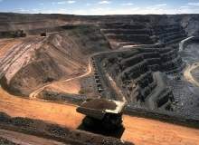
Is the price for high quality mountain top coal too high?.
Mining companies typically maintain large data holdings, which they collect or purchase. Implementing an enterprise GIS allows them to reduce costs by eliminating duplicate data collection. It also increases collaboration among staff from different departments and locations.
As market conditions change, they can apply new data to previously architected models to determine if those new conditions will have a positive or negative impact on their operations.
CL: Esri Canada presented Canadian mining company Teck Resources with an Award of Excellence at its user conference in November – what GIS successes has the company achieved leading up to this award?
AM: Teck clearly understands the value of integrating GIS technology with their existing data and business systems to create a more collaborative work environment. As a result, they’ve achieved significant efficiencies in many aspects of their operations.
GIS supports Teck’s entire mining cycle, from identifying target sites for drilling, mine planning and development, through to decommissioning and reclamation. They use the technology for 2D and 3D visualisation, prospectivity analysis, land management, asset management, financial and environmental reporting.
The company uses Esri’s ArcGIS for Server technology to consolidate data from its various projects and sites worldwide, and provide central access to it through various applications and web-based data discovery portals. Many geoscientists use mobile ArcGIS solutions to collect data in the field, which is then synchronised to a central server and made available across the organisation through various applications.
The web portals have expanded the use of GIS at Teck to non-geoscience staff across departments including health and safety, risk management, engineering, community relations and accounting. The portals allow them to find and visualise data quickly and efficiently, extracting information and printing maps for better decision-making.
CL: What role can GIS data play in making mining operations more sustainable and environmentally responsible?
WL: The global mining community is becoming ever more focused on sustainability and social responsibility and are increasingly looking to use Esri technology to actively monitor the environmental impacts that may be caused by their activities. Environmental scientists use GIS to collect, analyse and map data about soils, vegetation, surface/groundwater hydrology and cultural resources.
GIS give miners and explorers powerful tools to integrate multidisciplinary data to enable the geographic advantage and ensure health, safety and environment program compliance by leveraging industry best practices, monitoring and reporting activities and incidents, and adhering to corporate and government laws and regulations.
CL: Can the use of GIS data also be integrated into tasks like land tenure administration and document management to improve legal and regulatory compliance?
WL: A key use of GIS in the mining industry is to help secure and manage land tenure and mining rights. GIS helps mining companies define areas to be acquired, identify protected areas, apply and monitor the granting process, manage rights and obligations, and divest unwanted properties.
The technology is also used to monitor and identify competitor activity, evaluate status of opportunities and maintain competitive advantage. All of these tasks have a geographic or spatial aspect and GIS provides integrated tools to facilitate creation and management of solutions like land status and competitor activity maps.
CL: How do you think GIS technology could improve over the next five to ten years?
AM: Esri’s ArcGIS technology is increasingly moving to cloud services, including hosted content. There will be increasingly affordable technology that enables pervasive use of GIS across the entire mining life cycle. With improving mobile devices, as well as communication, security and infrastructure systems worldwide, the adoption of cloud-based GIS and software-as-a-service is expected to grow significantly. Esri’s ArcGIS for Desktop, ArcGIS for Server and the soon-to-be released Esri ArcGIS Professional application will leverage this expanding technology, data and workflows to make the mining industry even more successful into the future.
.gif)