
Geoimage has been the leading Australian satellite remote sensing data supplier since 1990. We are an independent image processing consultant, specialising in the production and sales of satellite and geophysical imagery, and the processing and analysis of remotely sensed data for natural resource applications.
Satellite imagery for mineral exploration
The uses of satellite imagery for mineral exploration includes background images for infrastructure planning, environmental impact studies, grassroots exploration and ground access, spectral processing to delineate potential exploration targets and digital elevation model generation. We provide the following quality spatial products and services:
- Advice and supply of satellite image data
- Satellite image products
- Remote sensing and image processing services
- Sales and processing of airborne geophysical data
- Geophysical image products
- Supply of airborne hyperspectral data
- Digital elevation models
- Digital maps and vector data
- Software sales, training and support
Satellite imagery for remote locations
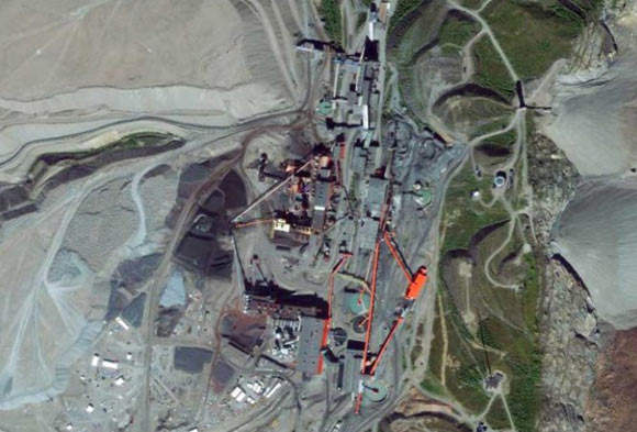
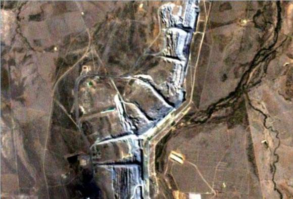
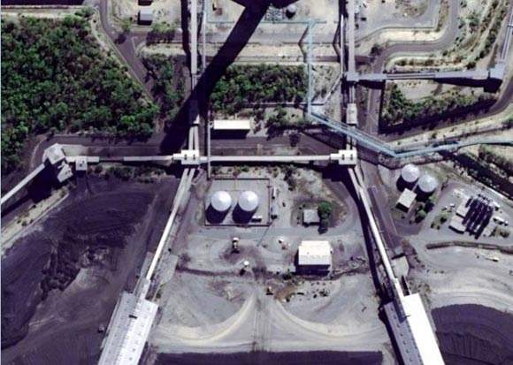
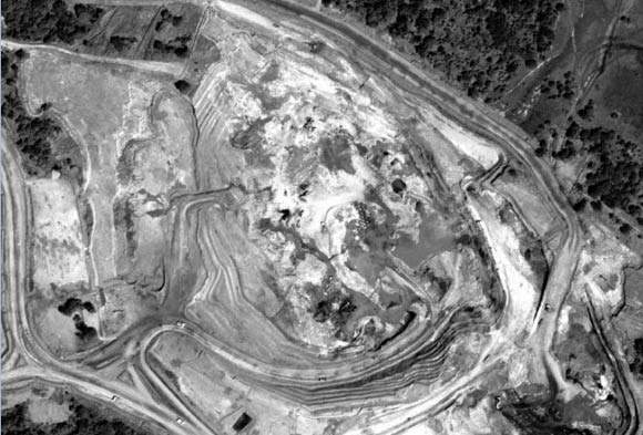
High-resolution imagery from Worldview-1, QuickBird, GeoEye-1 and IKONOS produces background imagery down to 1:2,000 and medium-resolution imagery such as Landsat and ASTER can be used to produce broad-scale regional coverage. This background imagery can be used within GIS software for mine-site planning, access to utilities, drill-hole placement or as a true ground image for both accessible and inaccessible or remote locations.
Satellites for mine-site planning, access and ground imagery
The IKONOS satellite, launched in 1999 and owned and operated by GeoEye, collects image data down to a pixel resolution of 0.82m. Onboard sensors can point both along and across track, providing a revisit capability of one to three days, depending on latitude.
QuickBird is a high-resolution satellite that was launched in 2001, which is owned and operated by DigitalGlobe, and collects image data down to a pixel resolution of 0.61m. Onboard sensors can point both along and across the satellite track, providing a revisit capability of 1 to 3.5 days, depending on latitude.
Instrument sensor systems
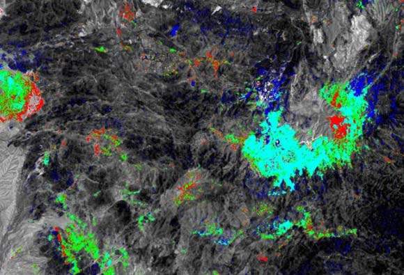
The advanced spaceborne thermal emission and reflectance radiometer (ASTER) is one of five state-of-the-art instrument sensor systems onboard Terra, the first earth observing system (EOS) satellite. ASTER has a unique combination of wide spectral coverage and medium spatial resolution in the visible, near-infrared through shortwave infrared to the thermal infrared regions.
ASTER data contributes to a wide array of global change-related applications including vegetation and ecosystem dynamics, hazard monitoring, geology and soils, land surface climatology, hydrology and land cover change.
Moderate-resolution imagery satellites
The Landsat 1 satellite was launched in 1972 and the most recent, Landsat 7 was launched in 1999. The Landsat Project is the longest running enterprise for acquisition of moderate resolution imagery of the Earth from space.
The first three satellites carried the multispectral scanner (MSS) as the main imaging instrument, with a return beam vidicom (RBV) as a subsidiary. Landsats 4 and 5 had the thematic mapper (TM) as the main sensor, together with an MSS.
Landsat 7 has the new enhanced thematic mapper plus (ETM+) sensor. This sensor has the same seven TM spectral bands as its predecessor, but has an added panchromatic band with 15m resolution and a higher-resolution thermal band of 60m. The ETM+ sensor also has a 5% absolute radiometric calibration.
Wavelength-sensor satellites for monitoring
Landsat TM and ASTER sense in wavelengths, which is useful for the identification of alteration associated with mineralisation. Landsat TM includes a shortwave infrared band in the 2.08nm to 2.35nm range, which can discriminate rock types and map hydrothermal clays, and the visible bands can be used to map iron oxides. ASTER senses in two visible, one near infrared, six shortwave infrared and five thermal infrared bands, allowing discrimination of epithermal clay minerals, iron oxides, silica, carbonate, mafics and propylitic alteration.
High-capacity, panchromatic imaging system
WorldView-1 was launched in September 2007 and is owned and operated by digitalGlobe. The high-capacity, panchromatic (black and white) imaging system features 0.5m resolution imagery. Operating at an altitude of 496km, WorldView-1 has an average revisit time of 1.7 days and is capable of collecting up to 750,000km² per day. The satellite is also equipped with state-of-the-art geolocation accuracy capabilities and exhibits agility with rapid targeting and efficient in-track stereo collection.
High-resolution and precision satellite
GeoEye-1 is a very high-resolution satellite that was launched in 2007 from Vandenberg Airbase, and is owned and operated by GeoEye. It collects image data down to a pixel resolution of 0.41m. This agile satellite can rotate or swivel forward, backward or side-to-side with robotic precision and has a revisit capability of one to three days, depending on latitude.